

Day 12
Seward
The Turnagain Arm coast, the sad Whittier and Seward in the rain.
From Anchorage to Turnagain Arm
Early in the morning, after the usual “breakfast in the room”, we make a detour to Wasilla, where we need to buy some gadgets at the Iditarod Centre. The morning is quite cloudy, we cross Anchorage for the necessary supplies and continue toward the Kenai Peninsula. Although it is still a livable city, after ten days of country life, the idea of seeing traffic lights and urban traffic immediately makes us regret the desolate lands of the Interior that we left behind. The Hwys are always three or even four lanes even in the central area. The downtown may be reduced, but the dimensions of the city are enormous in comparison to the population that lives there. A typically American concept of city but enriched by the all-Alaskan love of not stepping on each other's toes between neighbors.
We take the Seward Hwy to exit the city and skirt Turnagain Arm on the north side. Here we have a whole series of points where we can make stops, since it is an area in which the arm of the sea that penetrates it for a few dozen km creates splendid landscapes. The first of these we encounter at Potter Marsh, a marsh 16 km from Anchorage where dense colonies of water birds live, well visitable via hundreds of meters of walkways. An explanatory panel explains to us how the frogs that live in the ponds have been able to modify their internal structure.
Whittier and the Anton Anderson Tunnel
Along the coastal road we briefly stop at Chugach State Park Headquarters, where there is a snowplow train that was used during the rigid winter seasons to keep the railway track between Seward and Anchorage clear. We make a couple more stops on Turnagain Arm. There is not much to see because the further we go inland, the darker the sky becomes. One can only intuit the magnificence of what is in front of us. We nevertheless have another card to play in two days when we will be back from this obligatory route.
We neglect, at least for the moment, the deviation that leads to Kenai, to better see the glaciers of Portage that descend almost to sea level or remain hanging as if on a perch. We can barely imagine how the whole thing could appear under a sunny day. We decide to make a visit to Whittier, attracted more by its strangeness than by the beauties that can be admired there.
In reality it is not as bad as it might seem, of course building a small town in a place like this could only have to wait for the needs of military secrecy. It is 18 km from the Seward Hwy. Perhaps the village with the worst weather in Alaska and it does not disappoint since today it worsens until it turns into intense rain, so much so that for the first time we have to pull out the umbrellas that have remained dry until now. And it is probably because of its frequent fogs that the American army placed an important base of its own in this bay during the Second World War. The position protected by the mountains and Prince William Sound free from ice throughout the year did the rest.
It is connected to the rest of the Country by land via a long 2.7 mile tunnel, the Anton Anderson Tunnel, obtained on the railway track. In fact on the same route trains and cars pass in alternating directions. When we arrive the wait is half an hour, but we are not discouraged either by the wait or by the rain. It so happens that in the morning in a supermarket in Anchorage we fished out a piece of salmon and the occasion is propitious to kill time by creating tasty sandwiches. When at 12:30 they give us the green light lunch is already finished and we are ready to go get a coffee in the “center” of Whittier. The passage through the tunnel costs $12 round trip and is not very suitable for those who suffer from claustrophobia. It was built to let the train pass and the dimensions have not changed since it was also opened to vehicular traffic.
Whittier and the Begich Tower
There is nevertheless a pleasant harbor in an area where some shops crowd, called Triangle, and there is at least something to see. The hinterland is instead truly squalid: there is a large building where currently about 80% of the locals live, the Begich Tower, a 14-story building. Perhaps the only residential building we have seen throughout the trip.
When it was a military citadel the population of Whittier lived in a single building, the Buckner Building, today abandoned. The rest are warehouses or small fish processing plants, all in the middle of wrecks of abandoned vehicles. Probably there is more to see as a curiosity than as real tourist attractions. If the day were beautiful one could instead admire the waterfalls that descend from the glaciers looming above the town. The whole thing immersed in deep green, and it could not be otherwise, given the abundant precipitation that follows throughout the year.
In the surroundings hundreds of dead trees stand. It is a phenomenon that is often seen and always recalls the 1964 earthquake, when large wooded surfaces were flooded by the salt water of the tsunami.
In the rain toward Seward
Under driving rain we return to the Seward Hwy to begin the wet exploration of the Kenai Peninsula. We neglect the deviation for Hope which we will visit the day after tomorrow and head south. We go directly to our destination with two short stops at points where despite the rain the landscape is splendid. At 4:30 PM we are at our destination of Seward and we get busy procuring hotel accommodation.
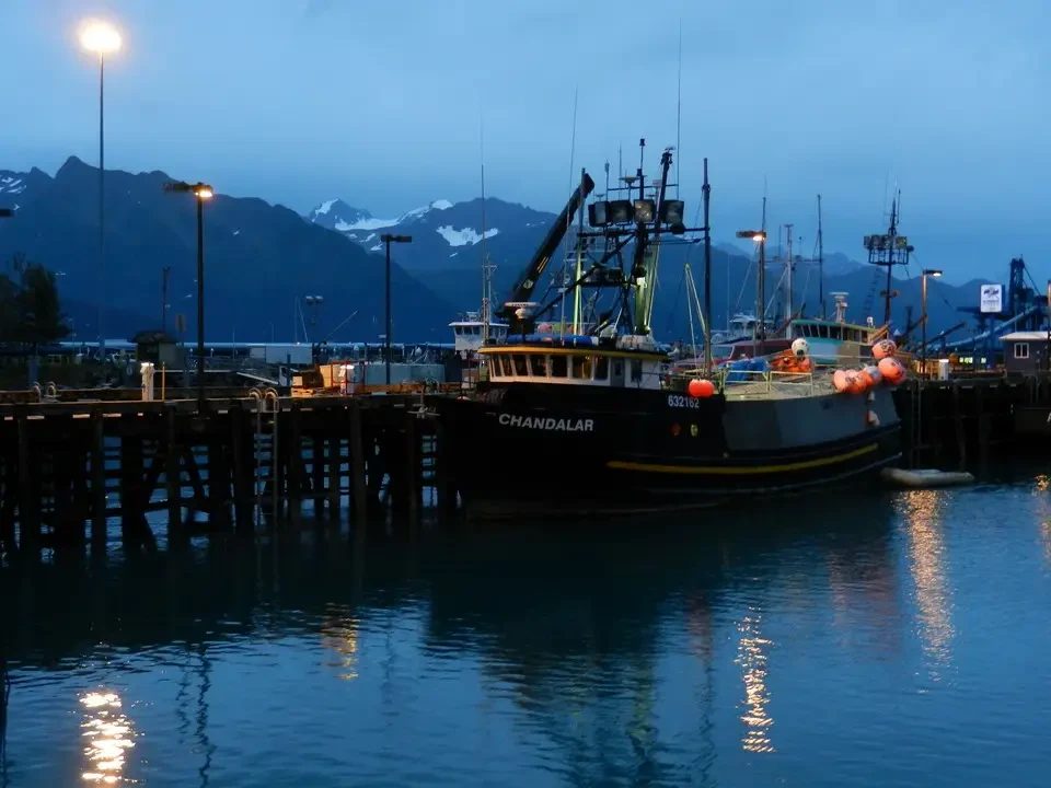
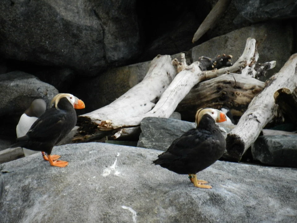
Next we visit the Alaska Sealife Centre, which helps us understand the life of fauna and flora that inhabit the coasts of the Sound. Here too the information is for a non-scientific public and tends to give an explanation to the simple whys of everyone, thus disclosing a mass of notions hitherto unknown. To better understand what we have just seen, we continue with dinner with a mix of fish. Final walk to the Small Boat Harbour, the small port where the fishing boats are also moored. Around it there are the fish processing plants.
We will have to reserve Mt. Marathon for a future occasion, in fact on the mountain that dominates Seward it rained all day and thinking of reaching it with a walk was not very healthy. Along the steeper track, every year in July a race is held with a 3-mile circular course in which due to the roughness of the terrain accompanied by the emphasis of the competitors it seems that the first aid center has quite a bit of work.
Seward is perhaps the most beautiful village encountered so far. It has urban planning, has a beautiful wooden promenade that looks toward the sea and has a first-class maritime museum. It is also the docking point for cruise ships that depart from the USA, go up the Pacific coast in the Inside Passage and land here to take their wealthy clients on the train that will take them north, if desired as far as Fairbanks passing through Anchorage and Denali.


