Day 13
Kenai
To Kenai and Homer along the Sterling Hwy, the salmon road.
From Seward to Exit Glacier
Although the forecasts do not leave much hope for an improvement, we discover that even local meteorologists can be wrong.
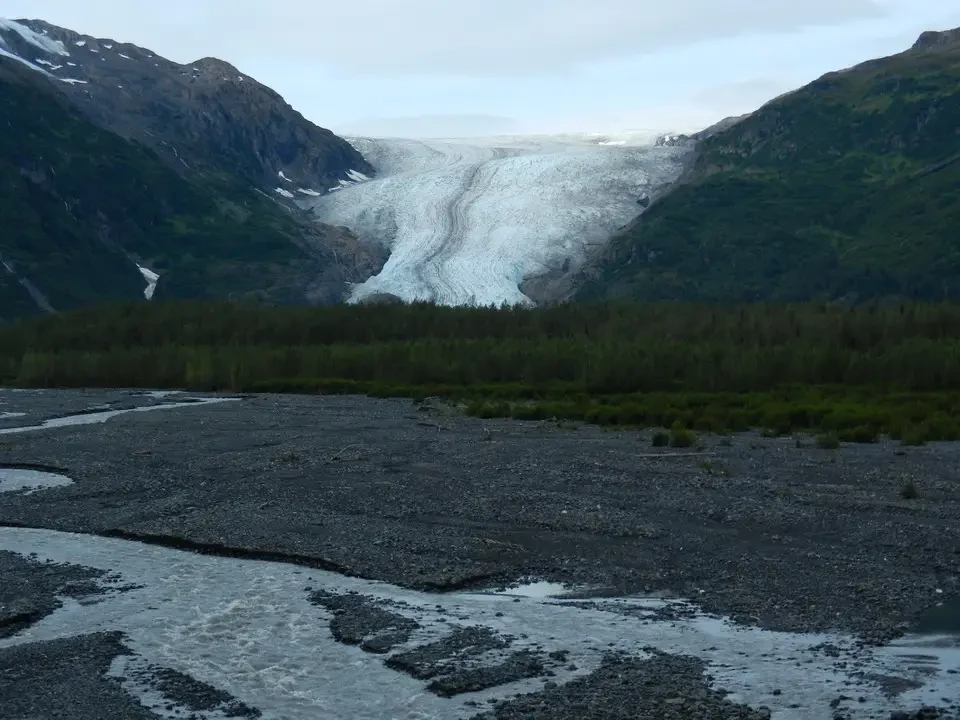
We go to see the Exit Glacier not far from Seward, which we skipped yesterday because of the rain. From the visitor center we take a trail along which there are signs indicating dates. They are the years that mark the end of the glacier and indicate how remarkable its retreat has been. Even in the last ten years there has been a heavy downsizing. We take the tour to see it from above and on the lower side. It is still imposing and one wonders how it could have been even only at the beginning of the last century when the front was several km further ahead.
We stop at Moose Pass, a pretty little town enhanced by the surrounding greenery. In a small post office we deliver the postcards to an employee who practices her profession with a smile on her lips.
Toward Kenai between lakes, salmon and Sterling Highway
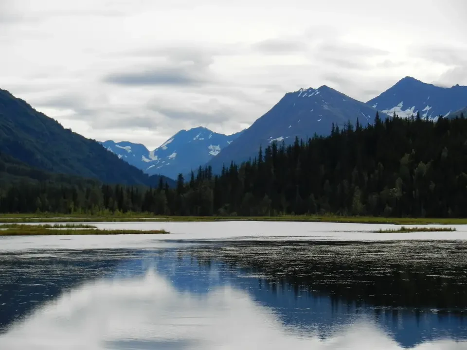
We resume the Seward Hwy north following the tracks of the Alaska Railroad parallel to Kenai Lake to reach the Tern Lake Jct. A beautiful lake with the sky reflected inside calls for a stop before turning west onto the Sterling Hwy.
We immediately reach a very busy area: it is salmon fishing season and people arrive from all over to participate in the event. A sport that fills the freezers for winter. It is all a proliferation of campers and cars parked or moving with a single objective. There is also commercial traffic to and from Homer, but especially in the Soldotna and Kenai City area, the heart of the oil industry. Under a beautiful sun we fill our eyes (and there would also be for the palate) with the sight of the streams that descend rich in salmon.
In case we had not accumulated enough hours of driving on dirt we make a deviation for Skilak Rd., a 19-mile bypass from which beautiful trails branch off. We take Skilak Loop Rd, not very long, to go see the narrows of the Kenai River, a canyon at the bottom of which the waterway flows turbulently. A little further on it opens up and one sees the fishermen again waiting for the coveted prey.
Given that there are 5 different types of salmon, each period of the summer season has its suitable moment for fishing one type or another. This is the good moment for silver salmon, red in color and of considerable size, and lasts 5-6 weeks. We cross Soldotna, a center already relatively large but which does not present attractions worthy of note and we head toward the southern side of Turnagain Arm to reach Kenai City, which appears more beautiful than the reports indicated.
Kenai, Ninilchik and arrival at Homer
Kenai lives on canneries for canning salmon and above all on the oil industry. In Cook Inlet there are 15 platforms and some super tankers. Not far from the coast there are large oil plants of Conoco Phillips, one of the former “seven sisters” of which today the count has been lost. In the quiet little town where time seems to have stopped in the times when one could still do without oil, the white Orthodox church stands out, a sign of the Russian past and of a religion still active throughout the peninsula. Here too the Visitor Centre has disproportionate dimensions.
Skirting the Inlet we descend south on Kalifornsky Rd. to arrive at Kasilof, taking us back to the Sterling Hwy without having to recross the busy Soldotna. On the transfer toward Homer the sky remains clear, brief stop at Ninilchik, ancient community founded in 1820, continues to have a strong Russian influence in its population. On the hill above stands a Russian Orthodox church with the characteristic onion domes. There would not be much material to spend much time there anyway. We do not stop at Clam Gulch, the kingdom of clamming, the activity of extracting cockles from the sand. For some a sport, for others an economic activity.
Continuing we reach Homer, the “halibut capital of the world”. The town is located on a long spit that juts out into Kachemak Bay, with a truly spectacular view of the glaciers and mountains of the Kenai Peninsula on the opposite side. It is a lively tourist center, with art galleries, restaurants and the famous “Homer Spit” full of shops and fishing charters.