Day 9
Central Alaska
Greetings to Santa Claus and splendid landscapes along the Richardson Hwy to Copper Centre
Morning in Fairbanks and Gold Dredge No. 8
Given the long day yesterday, we take it a little easier and have a chat with John during breakfast. We also take the opportunity for some shopping, fill up with fuel and call home, since we are in the city and for a few days we will not have the opportunity again. We also gather some information on some details we are missing about the planned route. The low fogs suggest good weather to come.
We take the Steese Hwy again, where there is an information point about the pipeline, we continue on the Old Steese Hwy where you can see from outside the Gold Dredge No. 8, a gigantic floating dredge that was used to sift for gold.
We stop to visit it from the inside, an experience that gives an idea of the titanic effort that was made in these parts to extract the precious metal. The machine is now a museum and tells the story of an era.
North Pole, the city of Santa Claus
A few miles further on we pass through North Pole, a small town that has made Santa Claus its reason for being. Street names like Santa Claus Lane, a post office that receives letters from children all over the world, shops full of Christmas items even in the middle of summer. It is a tourist curiosity that makes you smile, but also a sign of how in Alaska even the most bizarre ideas can become reality.
Delta Junction and the end of the Alaska Highway
We arrive at Delta Junction, the official end of the Alaska Highway (the famous Alcan) that starts from Dawson Creek in Canada. There is a monument that celebrates the meeting of the two great roads: the Alaska Highway and the Richardson Highway.
The landscape here is agricultural: large fields, farms, a more "normal" Alaska than the one seen so far. It is the area where the giant vegetables we had already heard about in Palmer grow.
Along the Richardson Highway
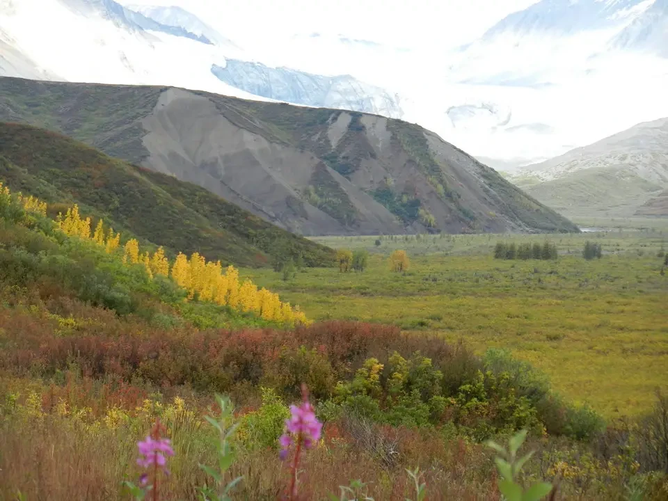
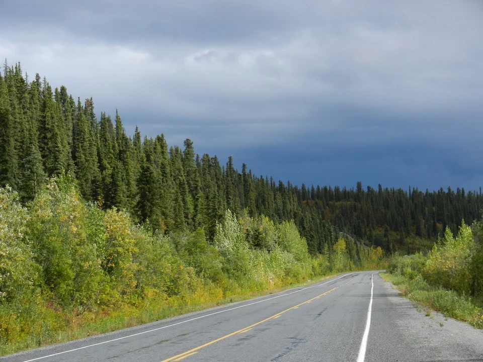
We take the Richardson Highway south. The road is paved, in good condition, and offers splendid views of the Alaska Range on one side and the vast interior plains on the other.
We stop at several viewpoints. The vegetation is now typical taiga: black spruce, birch, willows. The road climbs gently toward Isabel Pass.
Isabel Pass and the descent toward Copper Center
At Isabel Pass (1,000 m) we cross the continental divide again. From here the waters flow south toward the Gulf of Alaska.
The descent toward the Copper River valley is spectacular. The road winds between mountains that become increasingly green and wooded. We begin to glimpse the Wrangell-St. Elias massif in the distance, with its enormous glaciers and peaks that seem to touch the sky.
Copper Center and arrival
We arrive at Copper Center in the late afternoon. The village is small but has a certain charm, with old wooden buildings and the Copper River flowing nearby.
We stay at the Copper River Princess Wilderness Lodge, a large tourist structure that offers all comforts after the days spent in more spartan conditions. From the rooms and the restaurant there is a magnificent view of the Wrangell-St. Elias mountains, when the weather permits.