Day 9
Bolivia – Copacabana
In Bolivia: via La Paz to Copacabana
From Puno to Copacabana, entering Bolivia
Today's schedule finally includes a relaxing stop, although the night was not very restful. The cold snap yesterday had the effect of hitting us in the head, and today we are quite disoriented. We feel the altitude more than in previous days when we were walking and exerting ourselves. We woke up again before 6 am to be at the bus terminal on time for the 7 am departure towards Copacabana, Bolivia. The place is starting to come alive, and it's interesting to see the large vendors arriving with their goods sitting on the front of a moped, pushed by thin drivers. Once they reach the spot where they will stay all day, they pay their driver with some coins and arrange their souvenirs on the ground waiting for customers. The classic hats and colorful clothes give them an air of sophistication that street vendors usually don't have.
This time the bus is with Tour Peru, and the departure is on schedule; we can start to admire the scenery offered by the southern shore of Lake Titicaca. After two and a half hours of travel, crossing through small towns along the coast, we stop at the last Peruvian store, where prices are significantly inflated for tourists arriving there. We decide to postpone buying lunch, planning to eat some chocolate bars accompanied by coca biscuits, in Bolivian territory. Shortly after, we reach the border: we get off the bus and go to an office, where without much formality, the exit stamps from Peru are affixed; we proceed 200 meters on foot to another building to obtain the Bolivian ones, and with this, we are cleared and free to enter the country. The bus departs again with its fifteen passengers onboard, mostly young tourists looking to explore the world.
Copacabana and the Cerro Calvario on Lake Titicaca
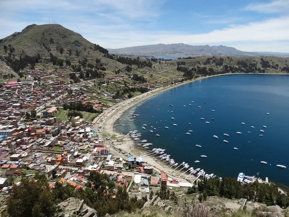
Just before one o'clock, the Bolivian time zone is an hour ahead of that in Peru, we have finally arrived at Copacabana. It was described as an unpleasant city, but we found it to be a sprawling one. along the eastern shore of Lake Titicaca, almost seaside-like, chaotic like all others but so vibrant that it creates a cheerful atmosphere, probably also helped by the beautiful weather before the holiday. We immediately set off for a walk towards Cerro Calvario, which overlooks the town as if it were its guardian: never had a mountain name been more fitting for today's day. My head feels heavy like a cannonball and with every step, the effort becomes almost unbearable. The "Way of the Cross" path leading to the top makes us feel like swaying and struggling Christ figures heading upwards. We look up, almost begging for the road to shorten, while we are already at 4000 meters. But the altitude wouldn't be a problem, given the small difference in elevation, if only we hadn't had a sleepless night beforehand.
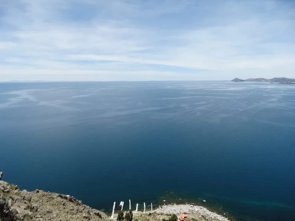
At one point, a scenic overlook reveals the lake, which from this angle seems endless, and inspires us with the courage needed to tackle the final ascent. Reaching the summit, we embrace each other as if we had climbed some incredible peak; in reality, we only covered 200 meters of elevation gain, but by overcoming our limitations, we conquered the effort, and that is the true meaning of today's outing.
Now we can finally take a look around: our eyes don't know where to rest. On the left, there are soft hills, at least 4200 meters high, that outline the horizon; in front of us, the blue of the lake, which looks like an ocean; below, the coral-colored water lapping against the shore; and then, Copacabana beach, dotted with boats moored alongside a luxurious resort. We decide to descend directly onto the city's hillside to complete the trek, an undertaking that will require some attention as the path becomes slippery and very steep in places. With appropriate caution, we arrive at the center of the town, drawn by the music of a band.
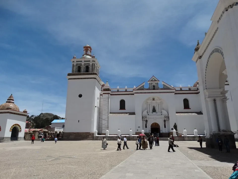
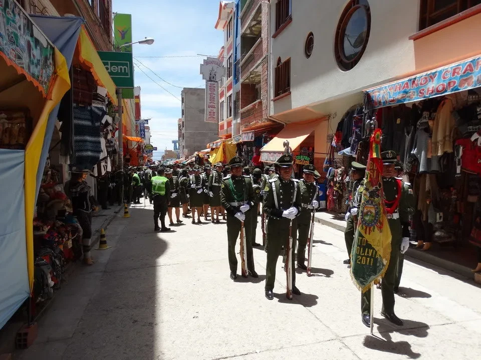
Let's see about a hundred of musicians We are dressed in full uniform for a ceremony whose precise meaning we don't understand. We will see the Virgin Mary leaning against a desk, but in this area, every occasion, whether civil or religious, is an opportunity to bring out the brass instruments and play some tunes. We are in a hurry because the bus is about to depart and we still need to see the cathedral; along the main street we have to pass by the band, but it's time for the national anthem and it doesn't seem right to avoid them in the middle of the musicians when everyone is listening attentively. As soon as it's over, we enter the church where, unsurprisingly, a wedding is being celebrated with beautiful background music. We manage not to disturb each other and take the road that leads us to the bus stop, avoiding this time the fanfare and all the onlookers. On the street are the remains of large decorations arranged in a floral or rose petal theme, almost like beautiful South American mandalas.
Tiquina, El Alto and first impressions of La Paz
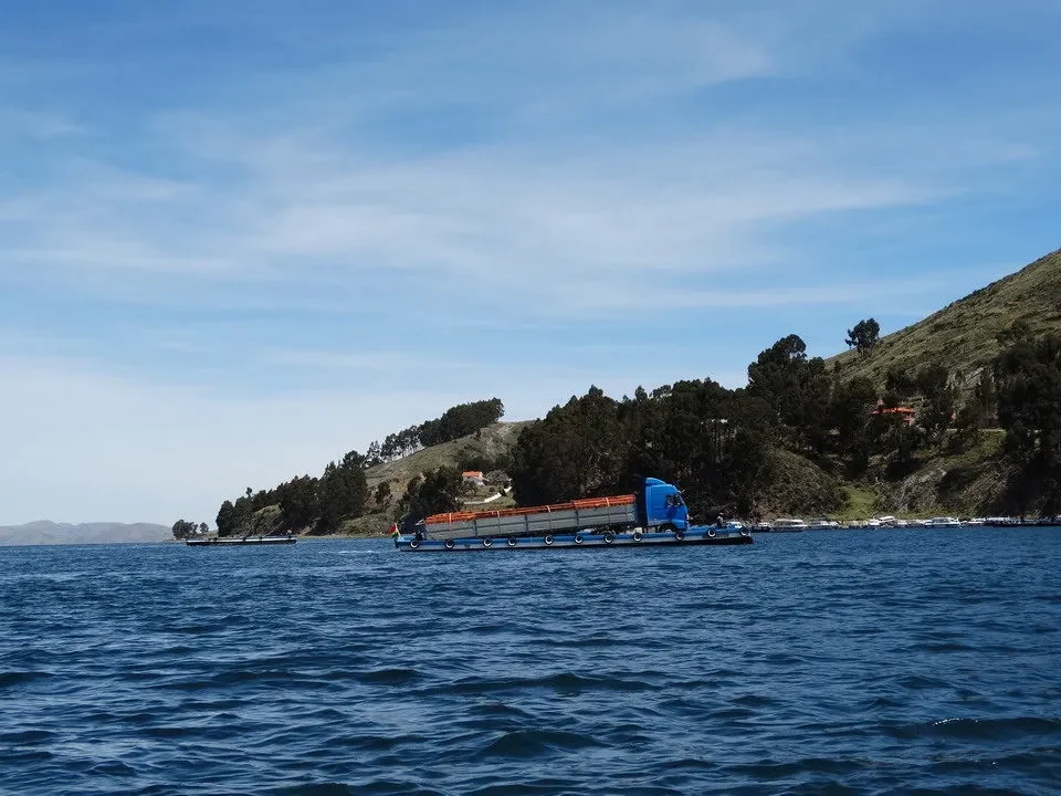
The road leading to La Paz is actually the most beautiful: terraced slopes that exceed 4000 meters, with the road winding sinuously between the mountains around the lake and the backdrop of glaciers, offering a final, stunning view of the city just left behind, before quickly descending to the village of Tiquina, where we need to disembark from the bus to transfer to the other side. While comfortable gondolas are reserved for humans, which take only a few minutes to reach the other side, the vehicles are transported by large barges and see tipping truck or bus Almost right on the water's edge, it does cause a little apprehension. Since we only have our backpacks with us, we don't risk losing our belongings, but the thought that the bus could sink is still not a desirable situation.
On the dockside, vendors are frying fish, and the aroma is incredibly tempting. We continue our journey for the remaining two hours before... La Paz The Bolivian capital is announced with its popular district of El Alto, where the airport is also located – the only place it could fit. A few lines should be dedicated to this unique metropolis. Born to exploit the nearby gold mines, I found a location within a valley that opens onto the high plateau at over 4000 meters. For this reason, it is situated in a huge basin, almost like a stadium that converges towards the central and historic part, where the Prado avenue runs.
The subsequent expansions, with the current population reaching two million, forced them to move out of the valley where it was hidden and protected from the wind; this gave rise to the El Alto neighborhood, originally a place known for its lively atmosphere and a destination for immigrants, which is now constantly evolving thanks also to the development of the country. Given the layout, the urban infrastructure has also been designed to quickly connect all the different neighborhoods. Therefore, it was thought to create a network of cable cars that climb in all directions. The experiment began several years ago and has recently been expanded with new lines. Currently, there are nine operating lines, while others are under study. An intelligent system for connecting a city that would otherwise have been impossible to manage, taking into account urban traffic and narrow streets.
Like much of South America, Bolivia is experiencing a period of political stability, which is a positive factor that contributes to developing its already weak economy. Along the streets of La Paz, one still sees many poor people, and the feeling is that you are in a poor country; the growing figures offer hope, but we wonder what the situation was like just a few years ago. The common feature of the houses is exposed brick without plaster, reinforced concrete bars left free, which rise above the first floor, presumably to continue the work. The impression is that when people have some money, they immediately invest it in buying a window, building a foundation, or erecting a wall.
Once El Alto is finished, the road descends into the canyon where La Paz lies, and here the view opens up to the valley. huge basin, surrounded by houses. There is a difference of 400 meters between the base, represented by the historic center, and the plateau: a unique city in the world for its urban characteristics. We arrive at the bus terminal at 15:45, which is also distinctive due to the diverse people who frequent it. With a taxi, we reach the hotel, located in a very convenient position for visiting the center, and after leaving our luggage in the room, we set off to explore the Bolivian capital. We immediately find ourselves facing the witch market, defined as follows for products on sale: a real realm of esotericism, magical potions to cure illnesses, find love, get a job, improve sexual performance, and so on, one for every wish. The dried and hung llama fetuses hanging at the entrance of shops are particularly macabre: this is another amulet that people usually buy when they are about to build a house, with good wishes, and bury it under the headboard. Some purchases for the house, not related to magic, and dinner in a restaurant located on the Prado. We return on foot when the stalls are now being dismantled and couples are strolling around. Here too, urban transport, when not using the cable car, is managed via micros or trufis, collective minibuses that travel along predetermined routes marked with signs on the windshield.