Damaraland
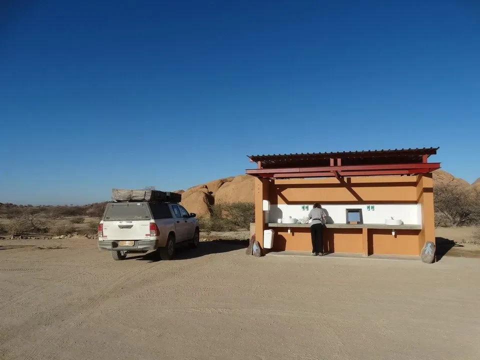
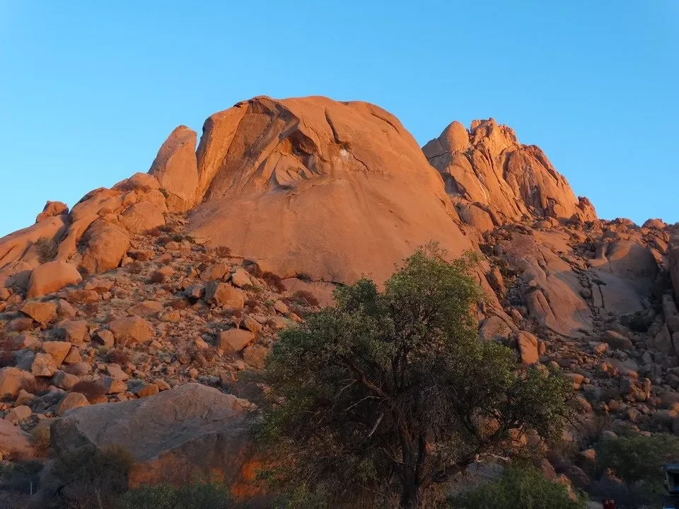
The sun rises on the horizon and ignites the rocks smooth around the field. We return with thoughts of the Olgas, similar rock formations in the Australian Red Centre. Perhaps we were also at that latitude; the granite has become almost incandescent, it feels like you could burn just by touching it. The trees facing east They glow with a yellowish light and highlight their dry branches, forming a dark semi-circle supported by a slender trunk; almost like a radiograph, wonders of Africa that alone would be worth the trip. After having made the camera go wild for several intense minutes, we need to prepare breakfast and readjust the tents. But today we do it for the first time in the morning light, and the operation doesn't present any particular problems. In fact, if at night it is sufficient to open the 12 latches that secure the cover and then open it after having attached the ladder, in the morning the reverse operation requires a little more attention and a few extra minutes, as the tent needs to be properly re-inserted and folded on the sides. The repositioning of the cover must be done with precision to avoid dust entering the tent during transfers. We then head to the reception area where there is water for performing our morning washing/brushing routines, and we are ready to set off into the heart of the Damaraland.
Organ Pipes
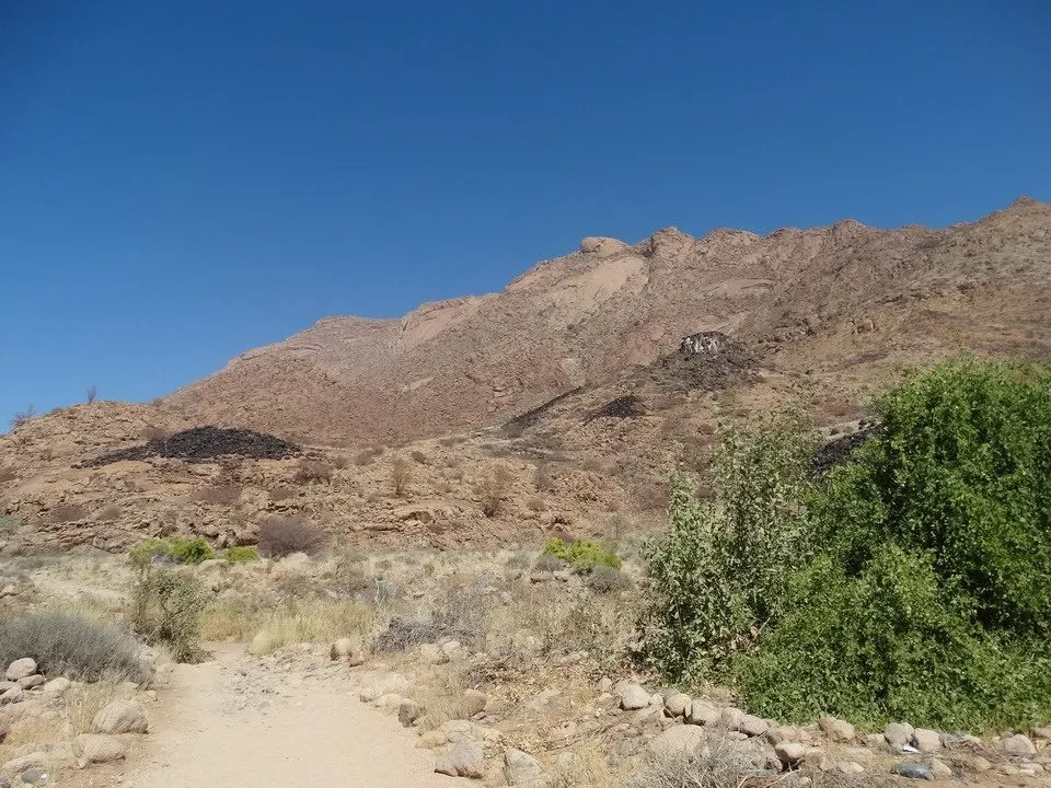
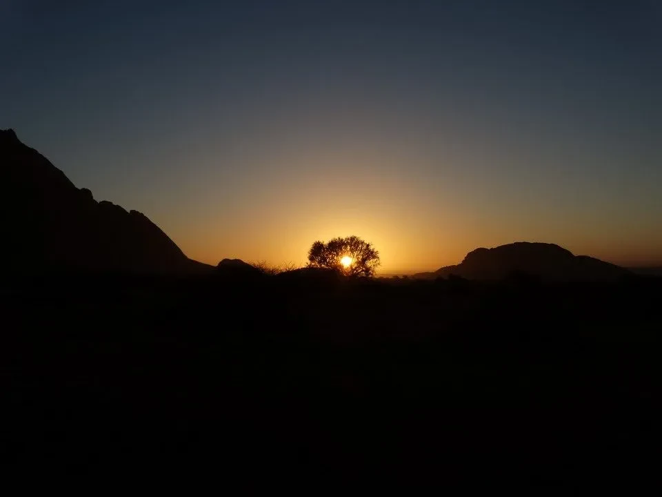
We head north towards Uis along a road that is not particularly good due to the bumps. We make a detour of 25 km. towards Brandberg As the name suggests, it should be seen at sunset when it glows, but we settle for observing this reddish-brown mountain in the middle of the morning, knowing that each day offers only one sunset and we can't be in multiple places simultaneously. We could see the rock paintings of White Lady, but this would require a two-hour walk under the scorching sun, which is not possible. We return to D2319, reaching Uis, surrounded by tin mines with an unusual terrain of horizontal stripes ranging from intense red to white, just a few hundred meters away; then the road becomes more winding along the hills around Sorris Sorris, a village with a school and medical center in a well-developed setting at the expense of the isolated and arid environment. Domestic animals are wandering around looking for food in an agricultural setting. At some point, we reach a fork in the road that is not on the map, and neither does the GPS provide much help. A brief consultation and orientation advise us to turn right in the correct direction. We have lunch shortly after at the dry bed of a river, under the shade of a large tree: in these cases, the back seat of the vehicle opens, we take out the package of cured meats and cheese from the refrigerator, and eat standing up, happy to stretch our legs. Usually, in the shade, the pleasant ventilation provides a refreshing break, while in the sun, the temperature is around 35°C, but never stifling thanks to the dry air and considering that we are at an altitude of about 1200 meters. The monotony of the arid landscape is frequently interrupted by riverbeds where large trees have their roots deeply embedded. There are no bridges; the road simply descends and climbs, considering that many of these rivers only fill up for a few days a year. Dried grass is a good source of food for sheep, goats, and cattle. Although the signs warn us to be careful when crossing wild animals, the hot time of day prevents us from seeing them. Along the road there is an Himba village with women covered in typical red clay and with bare breasts who invite us to visit. Nothing too outrageous; it's their way of life, and we would find our dressed appearance ridiculous despite the heat. This ethnic group lives about 200 km away, in the difficult-to-reach regions of north-west Angola bordering Angola. To promote their culture and earn some dollars, they have relocated a small village to make it more accessible to travelers. Similarly, before the next fork in the road, there is a Damara Cultural Center (*), where they explain the life and culture of the local ethnic group. The next stop will be Organ Pipes and the Burnt Mountain, which turned out to be two real disappointments at a cost of 50 NAD. The first involves descending into the bed of a dried-up river to see the very few basalt rock formations, which are not particularly interesting or impressive. The second resembles a hill struck by lightning. These destinations are only worth visiting if you are located nearby, and that is indeed our case, given the proximity of the Twyfelfontein open-air museum, (**) where a young guide reveals to us... rock paintings present in the area, with such passion that it even involves those of us who are not particularly knowledgeable about this historical art form. We discover that the giraffes These statues are considered religious symbols because it is believed that their long necks allow them to reach the clouds and bring rain. the lion It is represented with five fingers, although it actually has four and the long tail symbolizes the figure of the shaman, who is both human and lion, that is, the supreme among humans, with the task of intervening and mediating with the gods to reach a trance state. The circles The drawings on the stone depict the water pools, and the central point indicates the presence of a spring. If there is nothing, it means that the pool only collects rainwater and is destined to dry up at the end of the wet season. This symbolism is surprisingly present among Australian aborigines who live in an environment very similar to those latitudes. We also learn about the difference between white and black rhinos: it has nothing to do with the color of their skin; it's a translation error when the term "wide" (meaning a wider mouth) was translated into Afrikaans as "witte" (white). In fact, the white rhinos have a wider mouth because they eat grass while the black rhinos mainly feed on leaves. Furthermore, in the white rhinos, the young animals walk in front of their mothers, while the black rhinos follow them. It's interesting and charming how the guide describes it: how the black men carry their children behind (on their backs) and the white ones in front (in their arms). We also see outlines of flamingos and seals, which clearly indicates that the ancient inhabitants had contact with coastal areas, probably to obtain salt necessary for survival. To date the paintings, since there is no carbon available for dating, we consider the pigments used for color depending on the animal and the material used. These paintings were possible because carving granite is easier than limestone, resulting in better preservation. The site is frequented by desert elephants, animals that have been able to adapt over time to the arid characteristics imposed by nature. Unfortunately, we will not be able to see them; we will only be able to see their obvious traces on the ground... When leaving the site a squirrel peek between the stones: these little animals have adapted to the hot temperatures, displaying a thick tail that they use as a parasol to shade their delicate bodies and protect themselves from the heat. We cover the twenty kilometers separating us from the next camp, in a very quiet and secluded area, also along the riverbed. Tonight's dinner includes antelope and ostrich cooked on a braai, as always accompanied by South African wine. The atmosphere is one that you would want to experience all year round, with the sun lengthening the shadows ...until it disappears behind the rocky mountain. The fact that the camp is located near a river ensures the presence of water, and in this instance we also realize the importance of this resource, which we take for granted because we have plenty of it. Humans, animals, and vegetation all base their lives and schedules on rainfall, puddles, springs, or anything else that provides the blue gold. Rain is considered a divine gift and is the first essential desire of anyone, remembered both in religious prayers and in festivals or symbolism. In fact, the currency of Botswana is called Pula, which in local language means "rain," in a clear combination of water and wealth. The camp offers functional and clean showers, made with stones similar to our own, wooden doors, and tents made from bamboo branches. Hot water is provided by containers placed in the sun. Each campsite, spacious and equipped with a three-sided windbreak fence, has a clothesline, BBQ, and an outdoor sink with running water. The pleasant temperature encourages us to chat while sitting at the table after dinner, illuminated by candles that we chose instead of LED lights. Ending the evening with a good glass of fresh cider will prepare us perfectly for a restful sleep.
(*) The Damaraland is named after the Damara people. It is a dry and mountainous region mainly composed of reddish sandstone, which geologists believe dates back to over 150 million years ago. While the geological history is well known, that of the population is much less so, and remains a mystery: physically of Bantu origin, the Damara people speak the "click" language, used by the San-Boscimani. It seems that the Damara
(**) “the uncertain source”, which was the meeting point for a multitude of animals and a population of hunters. A reality illustrated by wonderful engravings that mostly depict hunted animals, their footprints, abstract signs, symbols, etc., all imprinted on the enormous red rocks fallen from the wall. It seems that some examples of this magnificent rock art date back 8,000 years ago and were created by Khoi-San people, who are somehow the ancestors of the current San Bushmen. The purpose of these rock representations has always been magical or ritualistic. In 2007, it was recognized as a World Heritage site by UNESCO.