

Day 12
Karakul Lake
The peaks of the Pamir range reflect in Lake Karakul. The bazaar of Kashgar: a portrait of Central Asia.
Arrival at Karakul Lake
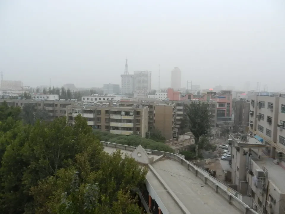
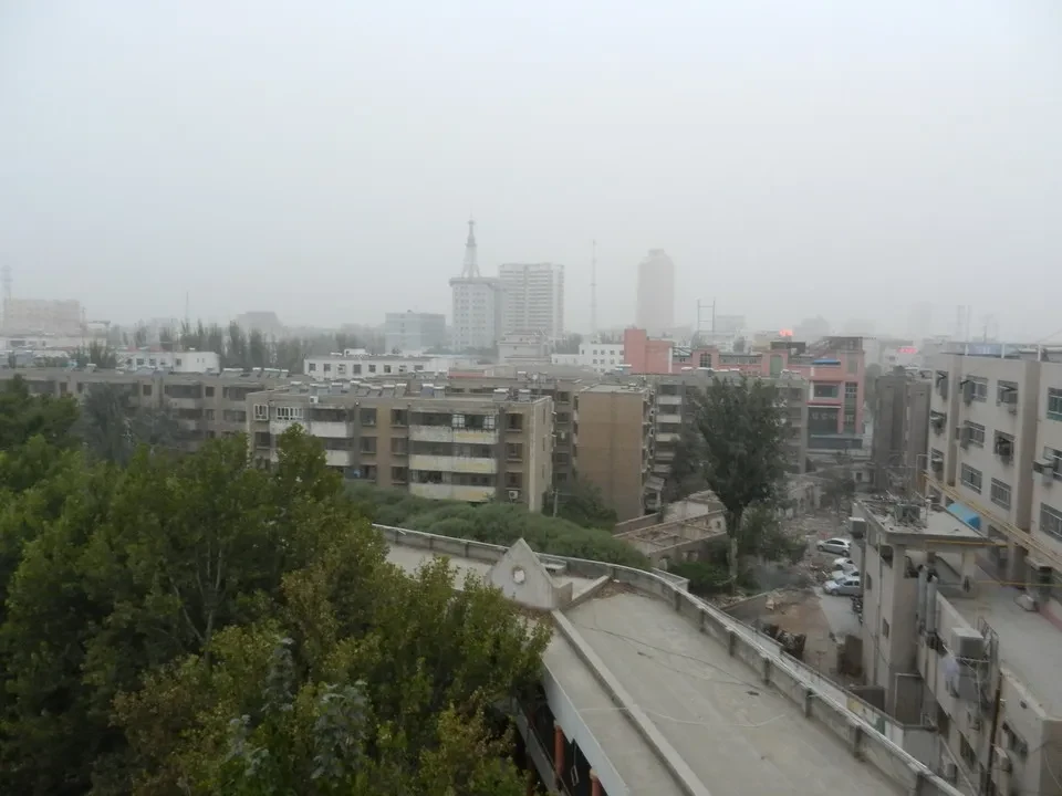
Also this morning, there is fog brought by the sandstorm The sky appears veiled by a beige layer, even though there is not a single leaf moving on the ground. Let's set the alarm for 8 am, which corresponds to 6 am according to local time. After all, when we look outside, it’s still dark; an hour later, we will be ready to depart and experience what will be the most spectacular and interesting day of the entire trip.
We head south-west. Karakorum Highway., a major transportation route (especially for goods) that covers 400 km to the Pakistani border via the Khunjerab pass at an altitude of 4800 meters. This is a dangerous area due to its frequent use by various types of smugglers, and it is also very close to a war zone. Our destination is 200 km and 3.5 hours from Kashgar, and it is Lake Karakul, a salt lake located on the Pamir Plateau at an altitude of 3600 meters. In Kyrgyz, it means "black lake". It is the highest basin on the Pamir Plateau, near the intersection between the Pamir, Tian Shan, and Kunlun Mountains (which means brown).
The road, in a state of disrepair in several places, runs parallel towards a steep river that flows yellow-brown into a stony landscape. On the right side, the wall slopes steeply and often causes rocks to fall. some rocks It seems impossible that the river, which already has a good flow, is destined to disappear into the desert, as all waters flowing north cannot reach the sea. Only those that converge much further east, beyond the Tibetan plateau, will form the basins of the Yellow River (Huang Hu), Yangtze River (Yangtze Kiang) and Mekong. All three originate within a few hundred kilometers before taking different courses.
The ground appears very unstable, with rocks embedded in the soil that is constantly eroded by the flow of water. Everything seems precarious and probably is; recent signs of landslides confirm this. The melting of the glaciers above releases stones that can then roll down to the valley floor. Continuing, we encounter... iron mines and also, copper that justifies the hustle and bustle of truck on the highway. We occasionally see one stopped with some stones around to mark the obstruction. They tell us it's due to mechanical issues: in these cases, the driver will go down to Kashgar to retrieve spare parts and return to try and fix it. The road was built at the cost of 6900 lives, but essentially it involved prisoners deported from this area in the 1970s. We find it hard to believe historical accounts when we see workers using pickaxes to break up recently fallen rocks. The Chinese also built the section on the Pakistani side at their own expense and with their own staff. This is in the spirit of cooperation between the two countries, united by the Indian enemy. The route to Islamabad/Rawalpindi covers 1300 km, of which only 400 are in China. It seems that always using local personnel is a Chinese custom: on another occasion we learned that when environmental disasters occur in Africa, China contributes by sending its own funds and workers to build what has been proposed. In these cases, India has had different attitudes: it has sent engineers but at the same time tried to support the economy using local staff. The same happened in Kazakhstan: there is a story of a Chinese company that invested in this country, bringing all its staff, including security guards. This angered the locals who stormed the factory and forced the Chinese workers to take refuge in their consulate. The Chinese officials, besides trying to provide work for their men, are rightly convinced that they can better control them; everything ends up having a monolithic consistency that they do not hesitate to call "killing machine". Especially the poorer classes are traditionally accustomed to obeying without questioning, which makes the task easier for those in charge. It will be interesting to see if the significant disparities that are emerging in China will continue to see obedient automatons willing to enrich the ruling class or whether they will also ask to sit at the convivial table: this is the future of China.
Along the route, we pass through a checkpoint that feels like a real border; our identity is checked by verifying passports and the specific transit permit for the next section of the highway. The police officers have a somewhat unfriendly look as they conduct a check, presumably to justify their presence. However, it may make sense in certain moments, as the western border is a sensitive and volatile area. Furthermore, there are only Kyrgyz shepherds that in summer We move around using the ger. The government is trying to keep them sedentary, at least during the winter months. building them little houses These provide shelter for them during the cold season and allow children to attend school. During the colder months, women work on textiles, while men "rest". They essentially live off raising sheep that they buy at the Kashgar market in spring to resell in late October/November when winter arrives. Yaks, on the other hand, are used for milk and dairy production. In the border area, there are also Tagik shepherds. Indeed, Tajikistan is only a few kilometers away, while Kyrgyzstan is more than 60 kilometers away.
The view improves as we ascend, gradually revealing the snow-capped peaks. It's fortunate that when we arrive at the lake, the mist has remained low and creates a wonderful scene. Lake Karakul takes on bright colors and reflects the high mountains over 7500 meters. The imposing peaks shining in the sun leave us just imagining what might be hidden behind them, all the way to the base of K2 in the distant Karakorum. In particular, Muztagh Ata With its 7546 meters, it towers above the lake and seems within reach. In fact, it's not a particularly challenging peak from a technical standpoint. It simply requires acclimatizing to the altitude. Due to the constant slope, many people climb it on foot and descend using skis. This allows them to save a lot of time and return to breathing fresher air sooner. The opportunity to witness such grandeur sparks ambitions that are unlikely to be fulfilled in the following days, as clear days are rare. Another impressive peak is Mount Kungur, a giant 7719 meters high, which represents the highest point of the Pamir range and was only discovered in 1900. It was first climbed in 1981. The Kunlun Shan peaks appear to be even more challenging to climb, with one being completely untouched. The snow limit In the past, it was around 5000 meters, but this year it doesn't go below 5400 meters. From this area, you can also do trekking that take 21 days to reach the base of K2, plus an additional 5 days for the return journey and a rough terrain route that must start from a difficult area on the border with Tibet.
Upon arrival near the lake, we try to compensate for the low oxygen levels, which are very noticeable. After a few minutes of deep breathing and relaxation, we are ready to move around without any problems. A group of Japanese even brought their own oxygen tanks in case anyone experienced a crisis. Oxygen became a source of income for the guides, who rented out the equipment for 30 ¥ and charged 100 ¥.
While we are returning, the yellowish bus reappears below 2800 meters, creating a sepia-toned landscape. We see a long line of military trucks parked: they are loaded with coal that will be transported to the Khunjerab Pass, as even though it is closed to traffic in winter, a military presence is always present.
Upon returning to the city, we will browse through the stalls of the bazaar, while after dinner we will take an evening stroll. The aroma of spiced skewers fills the air everywhere. We enjoy a vanilla ice cream, the real one that leaves a taste of the bean pod on your tongue. It's always interesting to see these everyday scenes that really capture the image of a country where some areas still resist the industrial revolution. Kashgar, although not Switzerland, is much cleaner than the cities I have visited so far. You don't even see people trying to sell anything, as in all markets, those responsible for sales try to offer what they have without being pushy. This also deserves recognition of a people's nobility. There is no habit of clearing your throat and spitting everywhere in public.
The women are usually well-dressed. Long, brightly colored dresses hang from their waists, and their features are as soft as rarely seen in this country. They tell us that the locals dislike the Uyghurs but appreciate their women. Many of them wear veils that cover their heads, while some older women use large mesh shawls, similar to a burqa. In a way, they feel like outsiders in their own homeland because tradition dictates that those who wish to respect it must wear a veil, while the police stop and force them to remove it under the guise of identifying people. They see this as an infringement on what they consider their own land; they would not have any problems respecting it if they were abroad.
In the maze of narrow streets of the very lively bazaar People of all kinds can be found here: Uyghurs, Kyrgyz, Chinese and Turkic-Mongols. You can recognize them by the hats they wear: those white ones belong to the Hui., the green ones are Uyghurs, the black ones are Kazakhs, while the red ones belong to people from elsewhere (Kyrgyz). Since they cannot be washed, they wear undershirts.


