Day 13
Lake Natron
Another large salt lake where a huge colony of flamingos resides.
From The Lobo to Lake Natron
Lake Natron is located in northern Tanzania, on the border with Kenya, near the Serengeti National Park and the Ngorongoro Conservation Area. Near Mount Ol Doinyo Lengai, the lake is visible in the southern part, covering an area of 56 km in length and 24 km in width, but the water level changes due to evaporation. It is shallow and alkaline, with several sources, including the Ewaso Ng’iro River and various hot springs. Due to the minerals present in the water, the lake has a faintly pink crust. The area around the lake offers several attractions, such as numerous volcanic craters, many waterfalls and gorges, and nesting sites for Rüppell's Griffons. Some of the most important attractions at Lake Natron include Mount Gelai, a volcano 2,942 m high in the southeast, and the Peninj archaeological site, where archaeologists have discovered the Peninj mandible — the fossilized teeth of Australopithecus boisei. It is a breeding ground for thousands of Rift Valley flamingos. They build their nests between August and October, feeding on Spirulina algae.
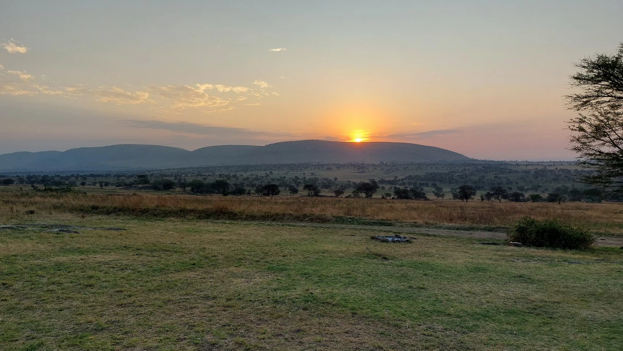
During the night between Saturday and Sunday at Lobo camp, there was a lot of activity: we could clearly hear a loud, deep bellowing sound, like that of an elephant, perhaps due to mating season, and we even went to the bathroom (while staying close to the tent) accompanied by this background noise. Upon waking, the guide asked if we had heard the roar of the lion, and I replied that we only heard the elephant's bellow. He explained that it was a feline, which emits these deep, guttural roars when defending its territory from another group of lions. It seemed very close, and the fact that we had left the tent in the middle of the night gave us goosebumps. The elephants would not have attacked us even if we were only ten meters away, but with the lion, it could have been a completely different situation. When it's bright there are a couple of zebras grazing in the field, in a picture that is both idyllic and peaceful, soon replaced by the usual buffaloes. This too is part of the cycle of the savanna; just as war and peace alternate in human history, tranquility and fear are two emotional states that can occur in an instant, as do life and death. These are lessons learned by staying connected to what happens, sometimes in its drama. As I have said and written, during this trip, I will have taken few showers but had many opportunities for moments of humility, trying to eliminate the inner dirt, which is less visible but causes more damage.
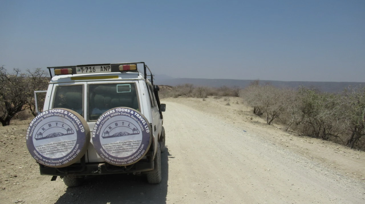
After spending two nights in the same accommodation, a unique situation on this trip, it's time to head towards Lake Natron, exiting the Serengeti and crossing through areas inhabited by Masai, who, as already mentioned, can only live and graze outside the park; the groups of animals are replaced by other domesticated ones, although we continue to see gazelles and giraffes scattered around. Occasionally the villages They become the size of a small town, like in Loliondo where there is a Chinese compound, likely dedicated to exploiting some mining site. In Wasso, we stop for some shopping by the cook and Modi takes the opportunity to weld the cooling water tank. the workshop is crammed into a small shack abandoned, with scrap metal on the outside that, if properly modified, can be used as spare parts. Here, the art of improvisation reaches its peak and compensates for a lack of resources. Having an older off-road vehicle, which therefore has little electronics, will prove to be a great advantage. After leaving the country, we surprisingly a stretch of asphalt for several dozen kilometers. In Sale, we turn left to return. on a good dirt road We are now at the edge of the Rift Valley and descend 1,100 meters towards the escarpment, at the bottom of which is Lake Natron. We pass through Engaresero, a Masai village that serves as the region's capital; we stop for some shopping and are surrounded by young girls who want to see bracelets, all dressed as neatly as the other Masais. We find ourselves at the bottom of a hot pot, and it’s much warmer here. Kamakia Camp It is located at an altitude of 730 meters, while the Natron is approximately 600 meters above sea level. fantastic location on a hill overlooking the lake, the villages below, and the almost perfect triangular shape of the Ol Doinyo Lengai, which reaches 2,800 meters. This one is an active volcano, as it last erupted in 2007, forcing the relocation of several villages, and represents a beautiful hiking destination. Due to the high temperatures, it's best to tackle the ascent during the night: it takes about five hours to climb, arrive at the top at dawn, and then descend for three hours. Unfortunately, we didn't have time; in retrospect, we could have given up on Manyara in favor of this ascent. But as always, trips should be done twice: once to experience them, and a second time to fully enjoy them.
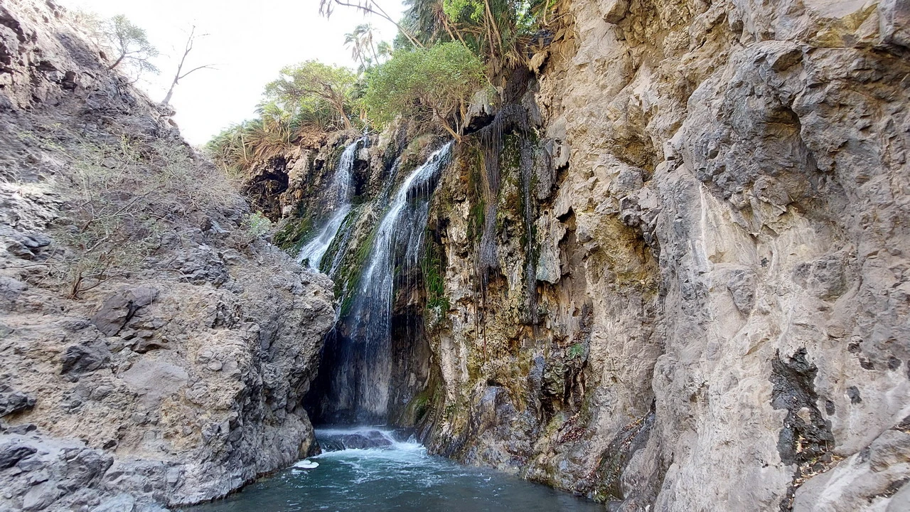
In this hot and dry area, life is sustained by natural underground water channels originating from Ngorongoro after a journey of 80 km. In the afternoon, we will immerse ourselves (literally) in this environment; after lunch, with a local Masai guide. we climb up the canyon located upstream from the campsite and at the bottom of which flows a stream with particularly clear water. Because the canyon is narrow, the path sometimes ends and you have to descend into the stream that reaches up to your knees. It's not cold, and even though you need to be careful not to slip on the stones lining the bottom, it's a pleasant sensation that becomes easy when walking on the sand. Entering and exiting upstream along the stream several times, we arrive at view of a small waterfall, nothing particularly special on its own but absolutely worth seeing the overall context. The spring is located on the left side of the watershed, about a hundred meters above us, where you can see a large green area with palm trees. This miracle represents the only reason why life can exist here. The lake is salty (alkaline) therefore it cannot be used for fishing or irrigation. Plastic pipes descend everywhere to serve the different villages. Everything around is desert with some struggling bushes. After all, even in the rainy season, it doesn't rain much here.
Canyon, lake and flamingos of Natron
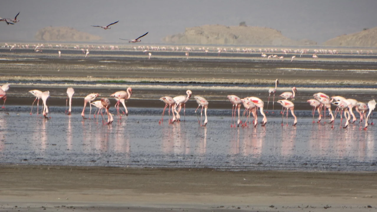
Back home, we experience the joy of a shower, finally removing the dust and grime from our hair, which had formed a sort of natural hairspray and made them look thicker. Feeling refreshed, we focus on the next event, the visit to the Natron lake and its wildlife. Its name comes from the chemistry, sodium, and therefore from its salinity due to the volcanic activity of the area. It is still experiencing a period of drought as the dry season will continue for another month. The lake is shallow, reaching a maximum depth of two meters despite being 50 km long. We are walking on ground made glassy by salt, which breaks under our feet like glass. Some zebras, gnu The ibis birds are perched on the branches, creating a picture of complete freedom. But the main reason for visiting is due to the vastness of white and pink flamingos, particularly numerous now during the mating season. The first ones are larger, but the second ones have a unique pigmentation, especially when they take flight and soar through the air.
The day is drawing to a close, although we are in the equatorial zone (at midday our shadow does not extend more than 20-30 cm), our reflection in the sun stretches and it's time to return from this place so different from what we saw during these two weeks. Early dinner and then bed: tomorrow we leave and it is best to depart early.