

Day 5
Adelaide
Visit to Adelaide and we begin the adventure in the remote areas of the countryside.
Morning in Adelaide
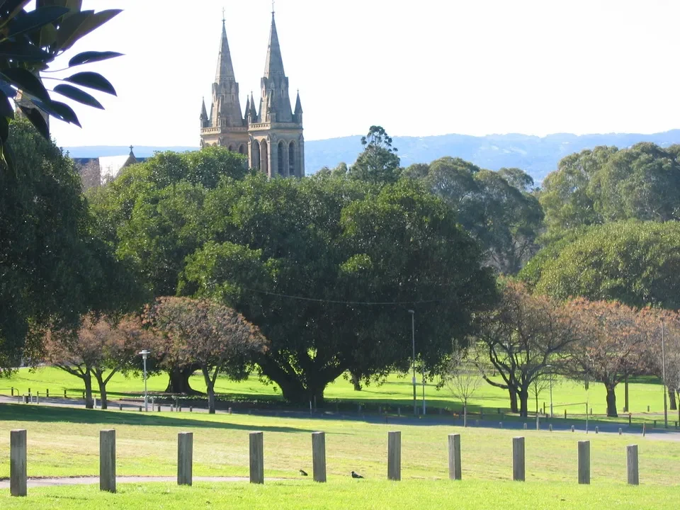
Wake up at 7 and departure at 7:45. The road to Adelaide is beautiful, we pass through some small towns where you can see the colors of spring. Even though it's just the beginning, its location makes it more advanced compared to our places. The tall trees are just starting to sprout, while everything is in bloom with peaches, cherries, etc. We enter the south suburbs of Adelaide. It’s quite busy, although the urban planning is well organized; perhaps it's the ideal city from this point of view. We go down North Terrace to head towards... Light's Vision... a park overlooking from the top of a hill, at the spot where Governor Light realized it would be the ideal location to found Adelaide, in opposition to other authorities who wanted it to develop further south, near the mouth of the Murray River. Light had a brilliant vision, as the place had exceptional characteristics; for example, the city developed into Australia's fourth major metropolis.
The urban face of Adelaide
We take a tour around the park by car and descend to the other side of North Terrace, where there is a series of public buildings dating back to the nineteenth century. We go into the city center to see Victoria Square, nothing special. Trees still without leaves, construction work, and modern buildings do not contribute to its charm. A walk through the covered market, as colorful as any local market, where we stock up on food for the next few days, during which we will be working in the outback. From Adelaide, we leave on a large highway, crossing vast suburbs, since these are cities that develop essentially horizontally, due to the available space and their recent construction. Despite having a million inhabitants, the urban area covers at least the territory of a major European metropolis. Gradually, we find ourselves in increasingly desert areas. We come across some lakes, characteristic for their blue coastline, while towards the center they have a violet color already observed elsewhere during these days. We also see the alternation of intensive crops with flowers and vegetables (including artichokes) with barren and flat areas, therefore gentle hills with more extensive cultivation. Initially, the highway is the M1, which later becomes single-lane, maintaining a speed limit of 110 km/h. The landscape around Port Pirie remains fundamentally agricultural. From the highway heading to Port Augusta, we turn inland towards Wilmington. But just before, with a detour of 7 km on a truly worthy dirt road, we go to see Hancocks Lookout which opens onto Port Augusta and the entire Spencer Gulf, extending our view to the Eyre Peninsula. To reach Haricocks Lookout, we climb a steep and quite narrow road, with rocky walls like dolomite on one side, very attractive. Along the dirt road, we come across a farm, quite isolated and full of grazing animals. The beauty of seeing few people scattered over a vast territory! We meet a couple of kangaroos. From Wilmington, in 39 km, we reach the town of Quorn, which seems to have been a pioneering stop. We fill up the car and buy drinks at a shop that sells everything, especially cowboy-style clothing. Where else would you find this? This is where the real Outback begins.

Along the rivers, there are depressions that the road follows with distinct ditches. In rare occasions, you can see bridges made of pipes, to allow water passage under normal rainfall conditions. In case of floods, it is necessary to check the depth of the water to determine whether it is safe to cross or not. There are also depth indicators available. The rivers of Central Australia do not flow anywhere. It rarely rains, and when it does, there are heavy downpours that create floods in a terrain not accustomed to receiving rain and where there is no network of streams converging into the rivers. Normally, they are dry, but when there is water, the rivers wander depending on the slope of the land, either disappearing or drying up due to the sun. Along the riverbeds and especially along the banks, there is very rich vegetation, particularly eucalyptus trees thrive, appearing as real tree-lined avenues along the banks, barely perceptible. The downside of this high humidity is that violent floods can uproot them; therefore, those on the banks survive more often. Given the frequency of the ditches, it is literally impossible to build bridges everywhere, so we have preferred to follow the riverbed and, in rare occasions when it rains, we must pay attention to the signs indicating "floodway". These signs will accompany us throughout the Outback and also along the eastern coast.
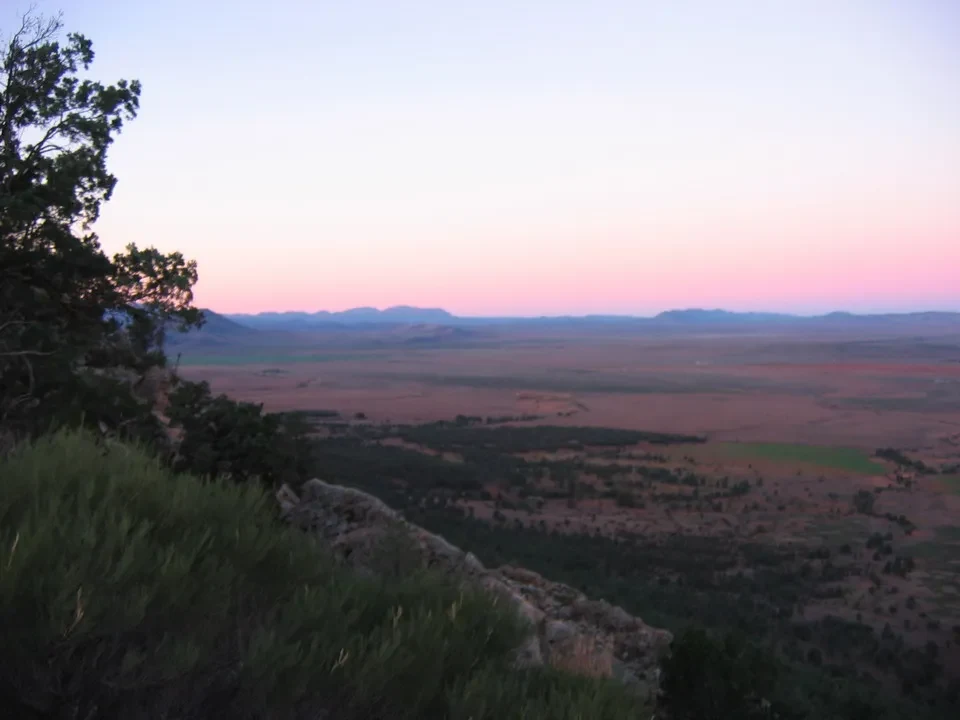
The prairie is the typical Australian bush, with few trees and very sparse pastures. Upon arrival in Hawker, we quickly set off on the Jarvis Hill trail to reach the designated viewpoint from which. watch the sunset Let's also take a short section of the Jensen Trail. Unfortunately, we can't spot the famous and rare yellow-footed Wallabies. We stay at the Hawker Hotel and have dinner with two delicious steaks in the restaurant named after it. The people who frequent it are not all trustworthy, while the signs that advise against excessive drinking and gambling make us think there might be some social issues.

