

Ireland
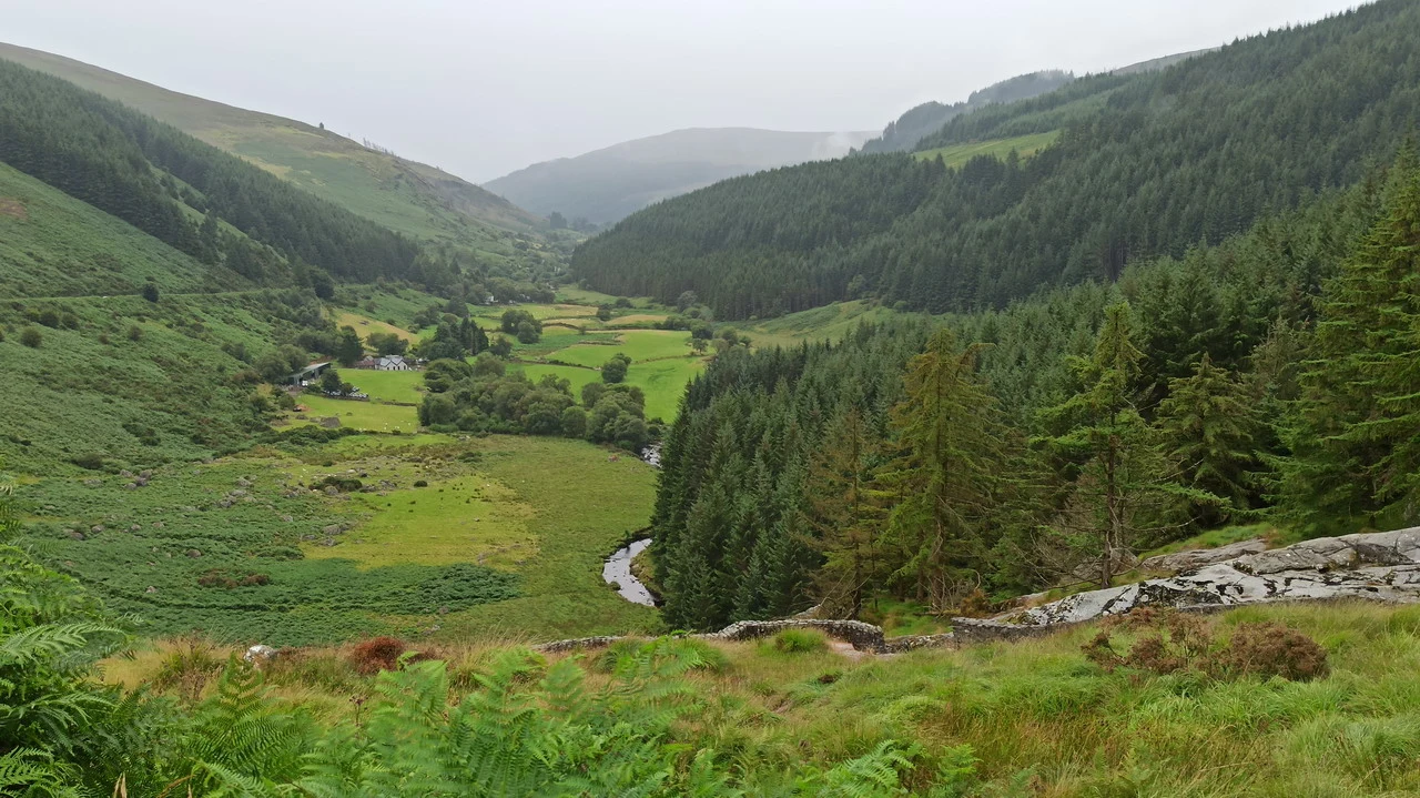
Green and grey Ireland: the green of the meadows overshadowed by the mystical grey of the sky. The sky, when it's blue, is the Irish sky. Wild cliffs, beautiful cities, and lovable people.
Map
Ireland map - complete itinerary
INTRODUCTION
This year too, the anti-Covid regulations do not allow us to cross borders within the Union, so it makes sense to focus on a destination that had been on our list for years, waiting for the right opportunity. We hoped that global warming would reduce rainfall in Ireland. This partially happened, but in July, when we were experiencing heat in the Baltic countries. In August, we experienced the typical Irish weather: a mix of rainy days followed by clear skies, or both at once, as well as beautiful sunny days that illuminated the already vibrant colors of the island. The travel plan was designed with this possibility in mind, so the itinerary included frequent indoor options and detours to avoid areas where rain was expected all day. As a result, our bookings from Italy were limited to the first two nights and the last night near Dublin Airport. For the rest, we used Booking and Airbnb apps, based on where we planned to be the following evening. This flexibility required extra effort, both before and during the trip, because living "day by day" meant sacrificing valuable sleep time to plan the details and overnight stay for the next day. Apart from the organizational stress, the trip was a wonderful discovery in several ways, which I will list in order of importance: The Irish are known to be one of the friendliest people in Europe, and we confirmed this many times; a rich history that has shaped the character of the Irish, making them different from other neighboring countries, especially the English; a history filled with suffering, emigration, wars, and other tragic events, which have deeply affected the previous two factors, creating a cycle of modern men – Celtic culture – and historical events of great interest, unique in our continent.
Meanwhile, it's amazing how a region so peripheral to the main centers of human activity was able to have its first inhabitants already 5000 years ago. Considering the limited resources of the time, it must not have been easy to reach and then live in a place where it practically rains every day, and the land is mostly arid and only suitable for pastoral farming. Without detailed anthropological information, we can deduce that stable climate was an essential reason for settling there. While the erratic weather and low fertility posed challenges, the temperatures moderated by the Gulf Stream certainly provided a foundation for development. In a country where maximum temperatures rarely exceed 20°C but also rarely drop below zero, it is easier to survive even without adequate thermal protection. Therefore, it is interesting to visit the sites where colonization of the territory began.

A brief mention should be made of the relationship with England, a historically significant and imposing neighbor, which imposed its rules on Ireland for centuries through frequent wars and uprisings, culminating in independence achieved in 1921. The Catholic faith, professed to avoid assimilation into English culture, played a fundamental role in maintaining a distinct Irish identity throughout the centuries. From the 6th century, when Saint Patrick preached, to the attainment of independence, it must have been difficult not to be absorbed by the Empire. A completely reversed situation at the beginning of the last century, with even absurd consequences such as the presence of two Protestant cathedrals in Dublin, against a population almost exclusively Catholic.
The fact that Ireland was only independent since 1922 and had a republican form since 1948 meant that there previously existed an Anglo-Irish nobility who owned castles, stately homes, and estates with attached gardens. With the end of British rule and subsequently the monarchy, these buildings remained in the hands of their rightful owners, but they lost a series of noble rights, and over time, interest – or even the possibility – of maintaining the properties diminished. In some cases, they fell into disrepair, while in others they were transferred to the state for its care. This happened where possible, but it involves an enormous amount of property, and the costs are significant. We find ourselves encountering perfectly restored monuments whose paid entrance supports the expenses, as well as others that inevitably remain in ruins. The same can be said of churches, where in some cases there is a paradox: even if some have transitioned from Protestant to Catholic practice or vice versa, it should be noted that during the long period of British rule, religion – and indeed, it had to be – was Anglican, so Catholic celebrations were even forbidden at certain times. With independence, religion became a unifying force, and the Catholic faith regained its dominance, resulting in many "abandoned" Anglican churches due to a lack of faithful, which were likely already scarce or forced in the past.
Unfortunately, it wasn't possible to delve into the delicate history of Northern Ireland due to Covid restrictions. Ulster belongs (apparently unwillingly) to the UK, which is outside the EU. Upon returning to Italy, a 5-day quarantine was required, in addition to a test before entering Northern Ireland and another one after 48 hours. This means we will dedicate a long weekend specifically to Belfast, the Giants' Causeway, and some other attractions. At this point, we will also take the opportunity to see the coast of Donegal, which belongs to the Republic of Ireland but is impossible to visit due to bad weather.

It should be noted that Irish traffic is very disciplined and respectful of others, even though it has higher speed limits than the European average, which drivers fully exploit. The speeds are 50/60 km/h in urban areas, 80/100 on outer roads, and 120 on highways, but with a more favorable application for motorists rather than residents. For example, we can say that the limit of 50 km/h is restricted to high-density urban centers. Very high limits are also found near small towns or isolated houses, which, due to the lack of sidewalks and the resulting poor visibility, force anyone entering from side streets to pay close attention. There are not many checks, even though the limits are largely respected. We could describe it as a carefully reckless driving style. Despite having narrow lanes and the absence of side verges where dense vegetation acts as a barrier, there is no sense of being in a risky environment. In fact, as seen in England and Scotland, there is a custom of having road arteries that are solely dedicated to motor traffic, without considering pedestrian or cycling traffic: these categories are forced to move with difficulty, always wearing high-visibility vests, but they are very rare due to the associated risks. Pedestrians must walk on the roadway, and given that the terrain is everywhere undulating and full of curves, the danger is obvious to anyone. We cannot find a reason for the lack of sidewalks and the impenetrable vegetation, almost like a tunnel, protecting the roads, which at the same time makes the curves blind.
For the rest, once you get used to driving on the left (with the steering wheel on the right) and getting accustomed to the not-so-modest prices for accommodation, entrance fees, and restaurants, everything is incredibly simple. As mentioned, we were always assisted by the helpful Irish colleagues.
Ireland represents a meeting or separation point – depending on your perspective – or perhaps simply a crossroads between the Anglo-Saxon and Western European worlds. Traveling on the left side probably represents the most obvious practical similarity with the UK, but the Irish also adopted many aspects from the neighboring island. Everything, from habits to the strong sense of private property and even shop signs, carries a British influence. However, they profess a similar but different religion, have adopted the decimal metric system (with some exceptions), use the Euro as currency (perhaps as a turning point), but are outside Schengen and we immediately notice this when crossing border control upon departure. Brexit will certainly complicate the situation, and the lack of borders between the Republic of Ireland and Northern Ireland means only the first of many difficult-to-solve problems.
Itinerary
Travel days
Hills and Kilkenny
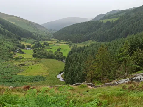
South of Dublin: elegant residences, historical sites and green valleys
Cashel, Holicross and Blarney
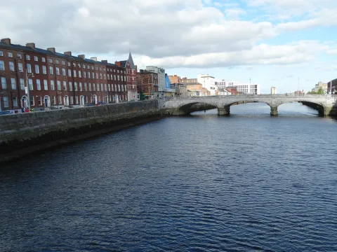
Impressive ruins of churches and castles. Blarney, a manor house and gardens of great interest.
Extreme southwest
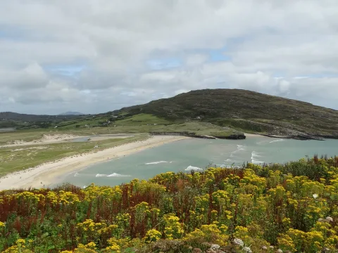
Rocky peninsulas where the ocean relentlessly attacks the land.
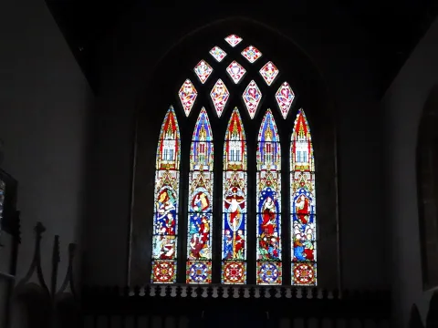
Atlantic Ireland and Killarney
Slea Head Drive, at the most eastern point of Europe. Killarney, residences and corresponding park.
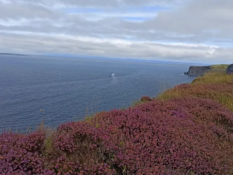
Cliffs of Moher and Galway
Cliffs of Moher: The day to play your last card with the sun – Galway: beautiful university city
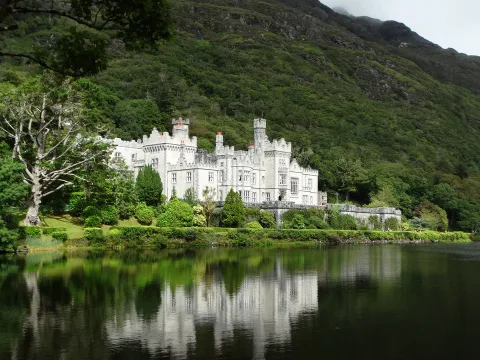
Connemara and Tully Mountain
Sandy beaches and a hike through beautiful mountains amidst fjords.
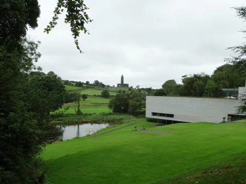
Castlebar, Athlone and Clonmacnoise
A lovely museum of rural history, a modern city and one of the best archaeological sites.
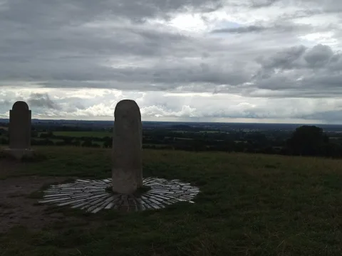
Hill of Tara and Drogheda
The Ireland of standing stones and druids – near Dublin
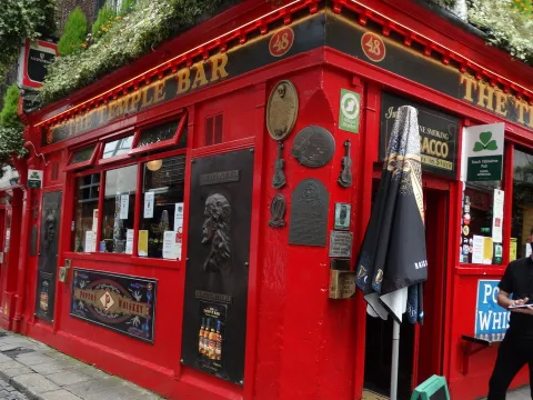
Dublin
A capital rich in history and charm. With a unique museum, the Guinness Storehouse.