Day 6
Campanile of Val Montanaia and the Vajont
Alps of Friuli, between natural wonders and human disasters.
Breakfast is served directly in the bar/pastry shop where you can order any kind of sweets. We are on the last day of this impromptu but successful vacation, from which we will return without being able to buy cured meats: too much time has passed since the beginning of the week for Valtellina's bresaola and Trentino's speck, but there is no shop dedicated to cured meats in Friuli. The butcher shop next to the hotel, which should open at 7:30 am, still has its doors closed after twenty minutes. We quickly leave Maniago with the intention of seeing the lights of
Lake of Barcis, just twenty kilometers away, as the sun sets. Meanwhile, at the exit of a tunnel, we find ourselves facing a fog that has suddenly obscured the clear sky and forces us to wait while we wander around the town. It is interesting to note the presence of old tourist infrastructure with urban furnishings that certainly do not attract visitors: we start by seeing posters advertising an upcoming literary festival, then pass by private gardens along the promenade, and finally end up with weeds surrounding the lake. However, the place is full of campers, whose residents are taking their first morning steps and from which the smell of coffee comes out. Eventually, the fog disappears but the crystal-clear water seen online continues to not appear: the lake is certainly beautiful, but the heavy rains at the beginning of the week have clouded the waters so that even with plenty of sunshine, the scenic view is not as we expected. However, there is still the reward of a quiet walk during a week in which there was little peace and quiet, and a basin with stunning mountains around it. It's time to continue and arrive at Cimolais in a couple of dozen kilometers. In the meantime, we were expecting a mountain village, almost like Erto or Casso, but instead, it lies peacefully in a plain at the bottom of the Val Cellina valley. So there are no narrow alleys clinging to the slope, but villas and even some industrial buildings. We turn right to enter the
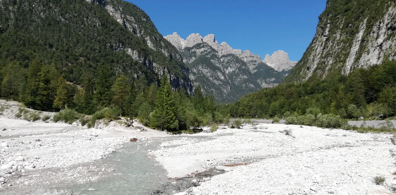
The Cimoliana Valley, covering approximately 15 km and requiring a €6 permit, leads us to the parking area near the Pordenone Refuge. It alternates between paved and unpaved sections, some of which are quite challenging due to the dry riverbed terrain, gravel, or narrow, passable paths under steep walls. We leave the car for the two viewpoints, which can be reached in about 45 minutes (trail 352) and offer stunning views of...
Campanile of Val Montanaia, a true architectural gem created by nature.
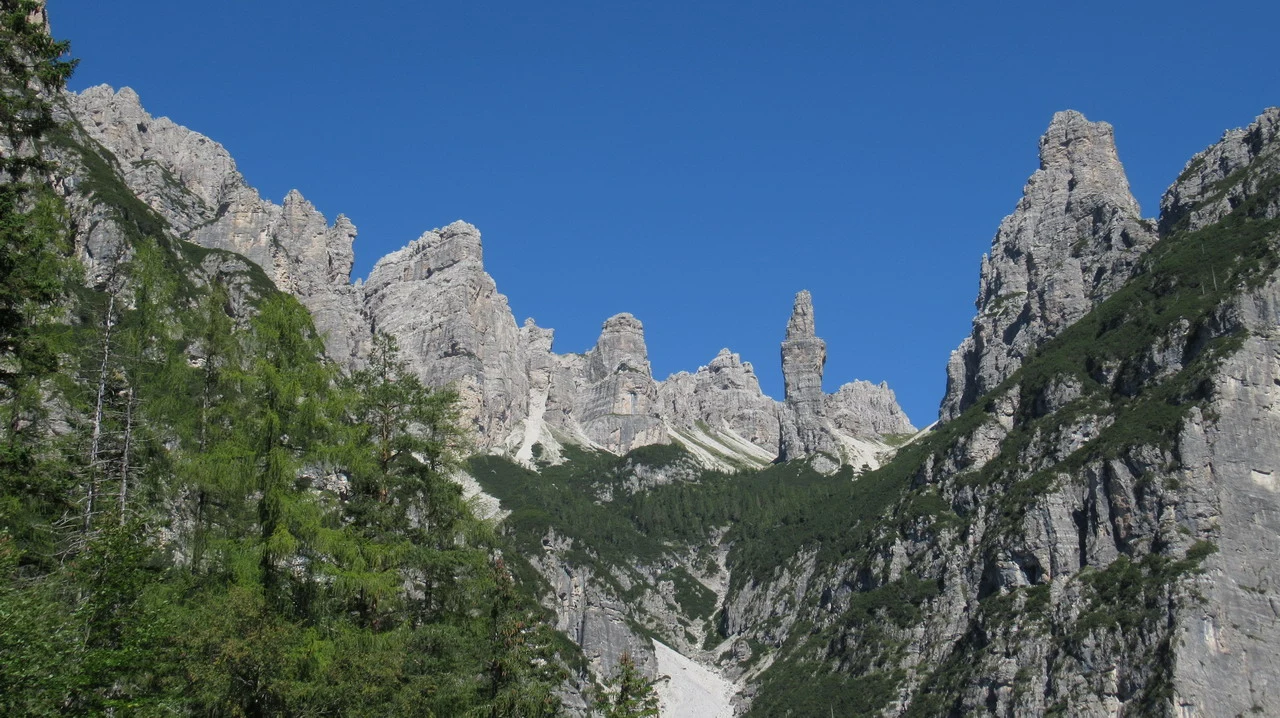
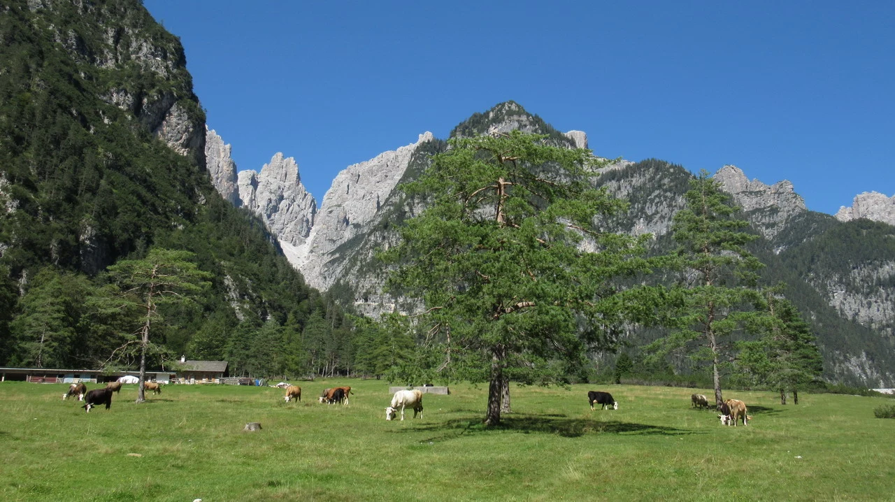
The The name "Campanile" is perfectly appropriate., given the presence of a virtual edge that in the church towers serves as a perimeter sidewalk around the bells. It goes without saying that the normal road is a 6th category, and it goes without saying that it's not for us. The day was wonderful and the setting is truly worth visiting, just like the loop on the other side (trail 353) which takes us directly to the refuge. All that remains is to return without forgetting to have a picnic. along the stream, meanwhile, had emerged several hundred meters upstream. Today, the chef proposes a sausage with a sort of fillet inside, purchased in Barcis, to leave everyone as amazed as... view of the Carnic Dolomites Right in front of us. It's interesting to note the contrast between the sparkling green of trees and fields, and the white stone, which is overshadowed by the blue sky.
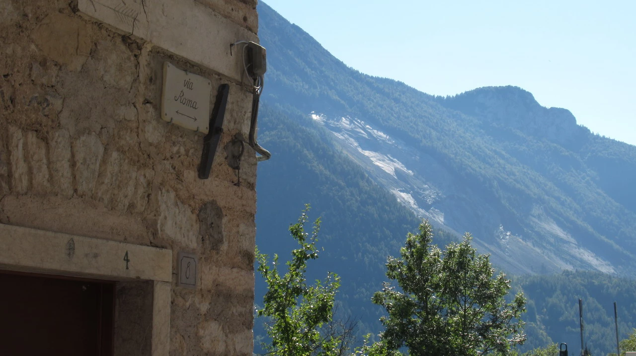
Having arrived again in Cimolais, we take the Val Cellina road down to the Vajont valley and visit Erto. We had already been there 14 years ago during a previous trip, but it is always good to see the scar on Monte Toc, which was formed exactly as it was by that infamous October 9, 1963. The new Erto features the interesting museum of wooden sculptures, well organized, which gives voice to the works created by the sculptors. Opposite it there is a pile of wood... unfinished sculptures and bottles of water that would have prompted the local administration to remove them as waste in other municipalities: but it is Mauro Corona's workshop, the writer/sculptor/climber/drunkard who, for better or worse, has given luster to a country previously known only for the Vajont disaster, in his own unique style. We focus more on this interesting fact and go to visit the Old man, the low one, where time seems to pass at triple speed. Most of the houses are in disrepair and are in the condition they were abandoned almost 60 years ago; inside, trees grow, the windows have been broken, and it's a sight to behold. abandoned town The others are inhabited by locals, while some have been purchased by tourists. This creates a clear contrast between the new and the old, between the walls adorned with colorful geraniums and those that are crumbling. A stark dichotomy between beauty and ugliness, happiness and sadness, present and past – all things that remain and will continue to remain. The Monte Toc with its shining fault is standing right there, heavy, and I should remember that they shouldn't pass through, and he reminds me of this constantly with that shiny surface, which reflects the image of the human error. And that one, destined to never happen. A step back in time, stopping on that night. Tourists and locals coexist, ignoring each other because they have nothing in common. Just below the town, at the height of the dam, which remained intact,
There is the documentation center that recounts and remembers the disaster; where there was water, now there is an enormous hill of debris on which the forest has grown, forming a narrow canyon that is now dry. Further upstream, there is a lake that has become "natural". We had already visited the site at that time and continue on, towards a
Longarone, full of life on Saturday afternoon. From here, it's just more road and highway back home.
It was fascinating to cross the Eastern Alps, observing the cultural and linguistic differences: while the area around Colle Fauci spoke Ladin, the neighboring Puster Valley is definitely German; therefore, descriptions and names are in three languages, including Italian. In Sauris, even though it's located in Friuli, we encounter a dialect with strong German characteristics.