

Day 4
Río Gallegos
Excursion to Cerro Calafate and transfer to Rio Gallegos, my first taste of desert.
Rio Gallegos
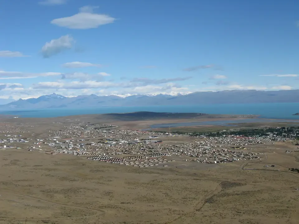
The day starts beautifully and the wind blows as usual in this area. Unable to sleep, I take the opportunity to go for a short walk that allows me to... First contact with Patagonia. The sun is just starting to shedding light on the country, although it is now clear from several hours ago. After all, these are the longest days of the year, and we are located around 50 degrees south latitude. We have breakfast at the gas station on the other side of the road and immediately head to our first excursion towards Cerro Calafate. It's a 1 ½ hour hike, without trails, crossing a series of rock formations similar to those seen in western films. We spot several hares among the bushes. As we climb higher, the wind picks up, and when we reach the highest point, which actually appears as a plateau, we can barely stand upright. The landscape is still stunning. Under a radiant sun, the glaciers that adorn the Andean peaks are visible in the distance, while closer by, Lago Argentino has icebergs floating on it. below us is El Calafate and east is the vast Patagonian steppe, which we will travel through in the afternoon. About a million years ago, the ice thickness in this area reached 600 meters, so there are still erratic rocks left by the glaciation right on Cerro, whose peak is a huge flat surface, perhaps smoothed by the constant action of the ice. Near the ridge, its thickness reached 1000 meters.
Towards Rio Gallegos
We return to depart for RIO GALLEGOS (100,000 inhabitants, capital of the province of Santa Cruz). After an hour's journey We stop at Esperanza, a place forgotten by both humans and perhaps even God, but certainly by politicians. At least this is clear from reading the complaint and demand notices posted inside the bar by what we could call the local neighborhood committee. There are probably only around twelve people living there, and the area appears to be politically insignificant from the start. This explains the lack of interest from the political class. On the road, we have our first encounters with guanacos (cute animals in the same family as llamas) and nandus (large ostrich-like birds, related to the African ostrich but not the Australian emu).
Rio Gallegos is the capital of the Santa Cruz province, which is the last province on mainland Patagonia before the Magellan Strait. The wind blows through the streets at right angles (one-way), without making it too cold. It was here that the late Nestor Kirchner was born, and you can see this from the beginning. He passed away just a couple of months ago, but the main street is already named after him. It seems he has certainly earned the recognition he received.
We take a look at the hotel where we are staying and, in a festive atmosphere, we set out to explore the city. Unfortunately, the craft market and the museum dedicated to pioneers are closed, but we still manage to take a stroll around the harbor, where some beautiful homes are located. We also find out what time dinner is served, although it starts around 9 pm. However, by wandering around, we can find a few restaurants that serve food even an hour earlier. This time, it's our first taste of South American lamb (mutton), and we quickly become friends. A dark Quilnes beer makes for the perfect accompaniment.


