Day 6
Isle of Skye
The Isle of Skye: The sun gently casts its rays between land and sea.
Skye under the sun
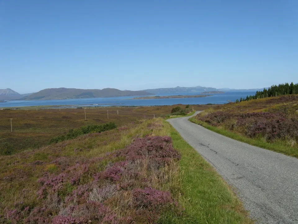
One of the great news I learned yesterday evening was that the forecast predicted good weather for the following day. Verifying what you have heard is the first thing to do as soon as you open your eyes, and confirmation doesn't take long. The sky is a beautiful cobalt blue, something only found at higher latitudes. There’s no time to waste, especially since we still have a delicious breakfast ahead of us. the Isle of Skye We had arranged breakfast for 8:00 AM with the lady. Absolutely not possible before. Today we also have black sausage, a type of sausage not far from our local ones, baked in the oven, plus the usual extras. It's interesting to notice that the classic jam we find in Scotland is made from oranges, definitely a non-native fruit. The lady, even though she has help from a woman who comes for a few hours each day, still wants to cook everything herself and personally takes care of every detail in the house. We leave feeling very satisfied towards Kyle of Lochalsh and the arched bridge that ten years ago put an end to the ferries that used to travel back and forth with Skye, the largest of the Inner Hebrides. Thanks to the numerous fjords, we are never more than eight kilometers from the sea anywhere on the island. Along the road, under the first morning sun, we admire a group of cattle from the Highlands, with its characteristic brownish color and long hair that falls over her eyes. We move on to Kylerhea to see the otters emerging from the cold fjord waters, as they live near the river mouths in the area. The observation point offers a great view of the firth and binoculars for viewing; we spot a otter at a distance. They must be having breakfast too. A ferry connects Kylerhea with Glenelg, a point further south on the mainland, although it involves some difficulties due to the tides. We head north and reach Portree, a prosperous village full of tourists.
Old Man of Storr and the north of Skye
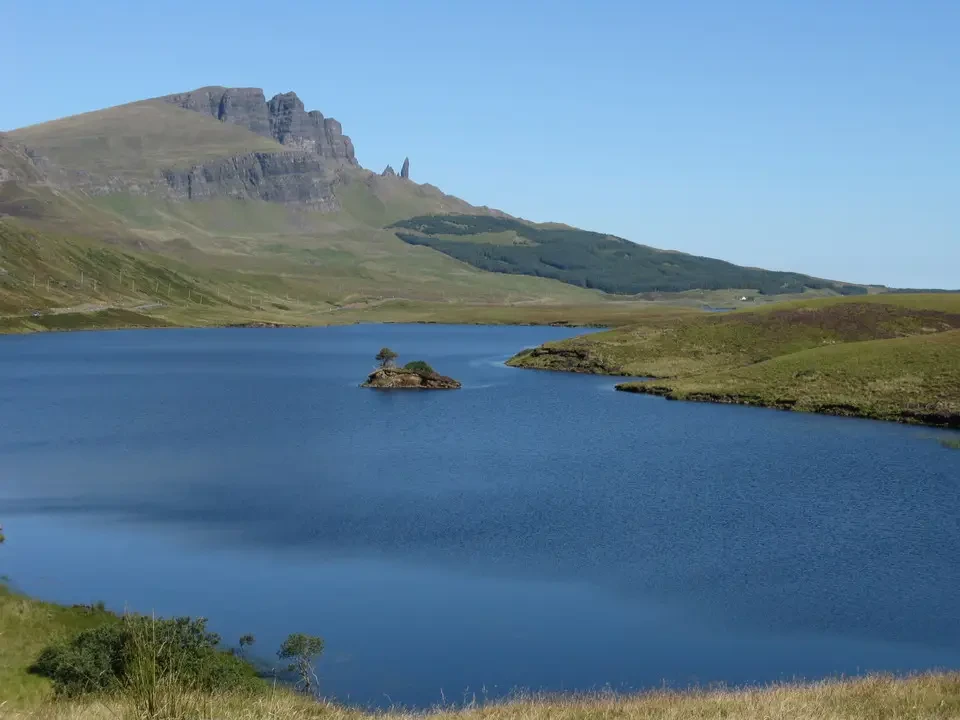
We continue further north into the Trotternish peninsula to reach the Old Man of Storr, a pinnacle that rises from a mountain range, and the Kilt Rock, a stunning landscape of rocky islets jutting out into the sea. The whole experience was enhanced by the music of a bagpiper playing in traditional attire. The water, the meadows, the rocks, the sky and the music create a mix of emotions that seem limitless. Some of Skye's attractions are already popular tourist destinations, and it is not far from Edinburgh, with buses readily available.
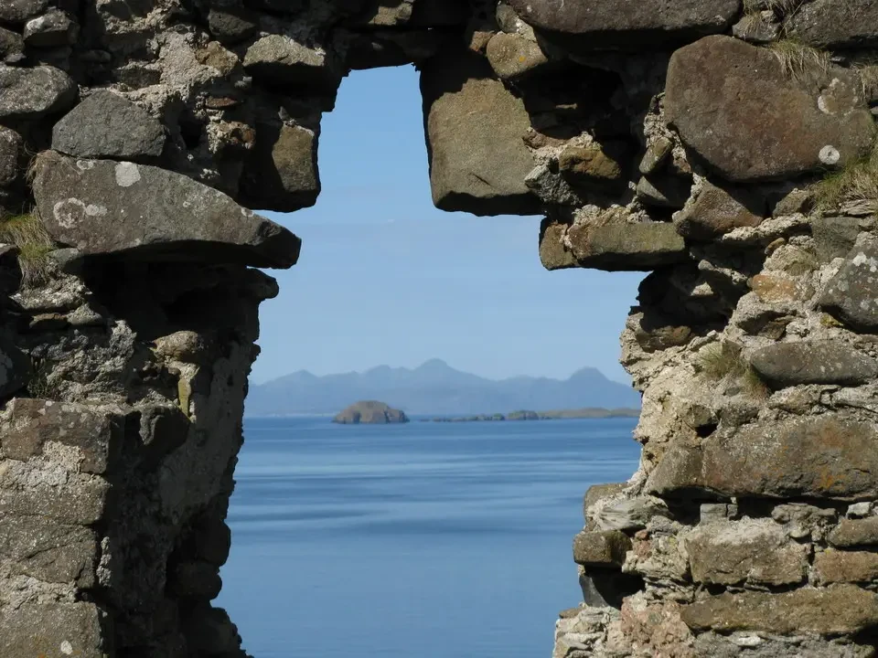
The northernmost point features the ruins of a castle and yet another. postcard-worthy scenery. Shortly after, there was the reconstruction of a museum-village with straw roofs, dedicated to local life, a strong smell of peat smoke comes from the houses, and just beyond is a cemetery where Flora MacDonald rests, a Scottish heroine. A day like this, in these places, should have few repetitions during the year. The village of Uig offers another spectacular view, nestled in a beautiful bay surrounded by rock formations. At the port, some ships are departing for the Outer Hebrides. After so much abundance, lunch consists only of a simple ice cream. Portree, during the return journey.
From Eilean Donan to Fort William
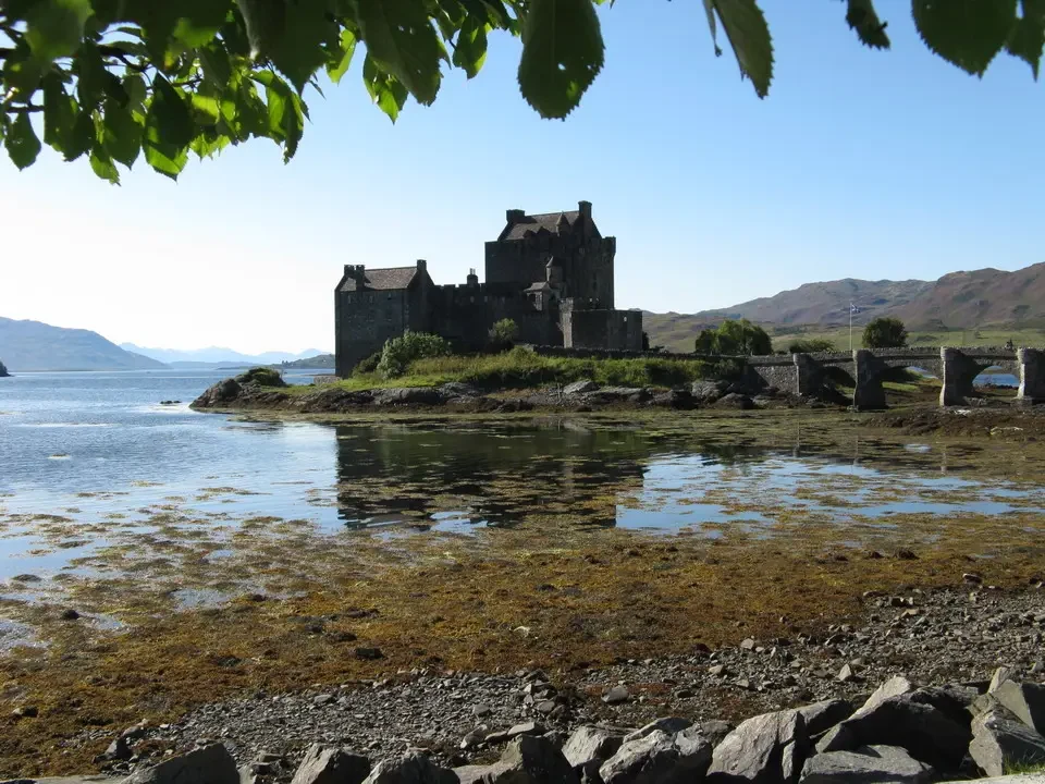
The day continues, returning to mainland Scotland and heading south. Some photos were taken at... Eilean Donan Castle, which reflects on the azure waters of a lake, and also many diversions, at the bottom of which are the usual wonderful Scottish lakes, long and narrow.
Along the road there is the Commando Memorial, a monument erected in honor of the British special forces soldiers, who originally had their headquarters right here. At the beginning of World War II, when the German army seemed poised to dominate all of Europe and an imminent invasion of the island was feared, Churchill created a well-trained unit, ready for anything, to conduct raids into enemy territory and thus defend the homeland. In fact, the Commandos were very successful, and the term originated from this unit, eventually becoming part of the vocabulary of the world as armed groups used in special operations.
We arrive at Fort William but first decide to see the Neptune's Staircase, a series of eight locks built to allow passage over a 20-meter drop on the Caledonian Canal. This artificial canal cuts through Scotland from southwest to northeast, making extensive use of Loch Ness, other lakes and connecting rivers in what is known as the Great Glen, the valley that divides the country. We move just a few kilometers to Corpach to take our first photos of our desired destination: the Ben Nevis... which greets us in about an hour as the sun sets, filled with warm colors. The clear sky makes the camera go wild while Ben arranges to meet us tomorrow morning. We continue our search for a suitable base camp near Corpach. Luckily, we find a lovely B&B with views of our mountain, and the owners are avid mountaineers. They are English and used to live in Aberdeen until four years ago, where Martin worked in the oil industry. To be closer to the mountains and also to an airport from which he could travel, they decided to move to Corpach. He continues to work in the same sector but does so from home, making this seem like the ideal location. In reality, it seems that this area is the wettest in all of Great Britain, and with rainfall exceeding 4000 mm per year, it's already a significant difference. We chat with them to gather information about the hike. Their house is decorated with photos and posters of famous mountains. We discover that they have also been in the Rockies and feel right at home. For dinner, they recommend going to the Ben Nevis Inn, a local restaurant located near the starting point of the trail, so we can already learn the route and study the strategy for tomorrow. The restaurant resembles a mountain hut with long tables and many visitors. However, the service is good, the waitress is friendly, and the quality of the food is nothing to envy from much more upscale establishments. The trail starts right here; after a few minutes, it connects with the one coming from the visitor center, while further on, it also joins the one from the youth hostel.