

Day 4
Orkney Islands
The Orkney Islands: archaeology from the past and sheep from the present.
The Churchill Barriers and the Italian Chapel
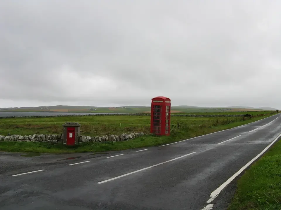
After a dinner for which the adjective "frugal" seems most appropriate, breakfast at the B&B on the Orkney Islands feels like a lavish meal. The sky is gray and doesn't seem inclined to negotiate. We don't envy the two cyclists who stayed in the same accommodation and preceded us in leaving the house under unpleasant rain. We set off around 8 am towards the mainland, crossing the Churchill Barriers, which consist of concrete blocks submerged to connect the islands in the south of the Orkney Islands, but mainly to prevent German submarines from entering Scapa Flow and sinking British ships stationed there. It turns out that these barriers were actually built by Italian prisoners, captured after defeats in North Africa. In the 19th century, they had the task of building defenses for the British Navy. Among these prisoners, some excelled in painting and architecture; they were even able to obtain the necessary materials from their jailers and built the Italian Chapel, a beautiful little church originally built from two containers from that era and a facade created by talented hands. At the end, the building became one of the most representative works of the islands, as well as representing a warning about how war can sometimes be trivialized or even ridiculed by human behavior. Certainly, those prisoners had it much better than their fellow soldiers who went to Russia.
Kirkwall, Brodgar and the prehistoric history of the Orkneys
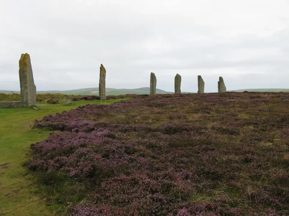
We visit the capital, Kirkwall, where the magnificent cathedral of grey stone stands out. slender, Gothic style it simply makes it majestic. A walk through a country where life moves at the slow pace of its grey days, and we head to Houston, where a fine, almost tropical rain begins, but it is cold and penetrating. In reality, there's nothing to see except for boarding the ferry to Hoy Island, which appeared as an option in our trip. It's pointless to take the short cruise to reach the other side and have no better view than we do now. We decide to continue around the main island, and our attention turns to some standing stones that have been there for several millennia and at Ring of Brodgar, a circular series of standing stones that reach up to five meters in height, placed by an unknown ancient people for an unknown reason. It seems incredible, but the Orkney Islands are a true paradise for lovers of the Neolithic period. Various sites with houses, tombs and other curiosities have been perfectly preserved, and scholars and archaeologists have still managed to provide credible explanations.
Yesnaby, Mull Head and return to Thurso
Meanwhile, the only hour and a half of rain we experience during the entire trip ends. It remains a high cloud cover to prevent the sun from illuminating the greenery around us, but without depriving us of the view. We head to the Atlantic coast to see Yesnaby, a high cliff that suddenly plunges into the sea. The whole scene is very beautiful, although it would be different in the sun. We quickly visit the Skara Brae archaeological site. This takes us to the northernmost point of our journey, passing through the 59th parallel. We return towards Kirkwall, where we had seen a local place that provides food for people with celiac disease for lunch. Driven more by curiosity than appetite, we try a couple of local sandwiches. As we head east on the island, we walk along a path to edge of the cliff which stretches along the coast to reach the remains of an ancient shepherd's dwelling, dating back to the 11th century. The stunning view of the surrounding landscape It is definitely more interesting and worth the one-hour trip. We return for some photos with improved weather on the Barriers, and boarding time arrives punctually at 18:30. The sea is calm, while nearby are some of the 67 islands that make up the Orkney archipelago. It takes about an hour to reach mainland Scotland and then onwards to Thurso, the town we decide to use as our overnight accommodation. We find a restaurant, Bistro, with excellent seafood cuisine, smoked haddock and salmon, banana toffee and meringue with berries. We end the evening in a pub for one last beer and retreat to the Waterfront B&B, which has thirteen rooms. Not all of them are ours, of course. Pleasant and affordable, but it loses some of the charm that makes B&Bs famous. Perhaps it would be better just to call it a guesthouse.


