Day 3
Thompson Valley
Traveling up the Fraser River through the countryside of British Columbia and the Thompson Valley.
Morning on Fraser River
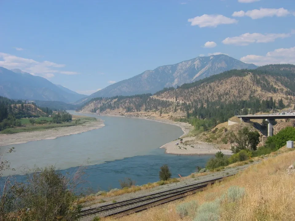
Wake up at 7 and enjoy a hearty breakfast at the B&B where we are staying. A historic setting full of charm, although it's a shame that the owners manage the business as their job rather than out of passion, which detracts from the warm atmosphere that these places could offer. We arrive just in time to take the ferry from Swartz Bay to Tsawwassen, on the southern outskirts of Vancouver. The day is beautiful again, and the ferry sails smoothly. between lush archipelagos and islands, before venturing out to sea. We disembark from the Spirit of Columbia and cross a farmland area to reach Highway 1 (the TCH), after which we travel for just a few dozen kilometers until we encounter the mountains of the Coast Range, where we have our first meeting with... Fraser River, impetuous and with murky colors. We enter the Fraser Valley passing through Hope, reaching the Fraser River Canyon at Hell's Gate. There is a salmon farm and you can find rapids that have marked the history of navigation on this river. We don't take the cable car to the base of the rapids themselves and head towards Lytton, where a very kind employee from the visitor center provides us with all the information we need about British Columbia. We go to a viewpoint that allows us to see the Thompson River confluence at the Fraser. It's interesting to notice how the first one has crystal-clear water, while the second one is murky, thus creating a clear distinction between the waters of the two at their meeting point. Despite being at an altitude of 290 meters, the temperature ranges from 32 to 35°C, and they tell us that this is not unusual. Along the Fraser River there are actually two railway lines, one of which was the first to be built in the area, following the Thompson Valley, while the other, which runs along the right bank of the river, covers long stretches underground and goes to Lilloet. Both operate in a single direction.
The urban face of Fraser River
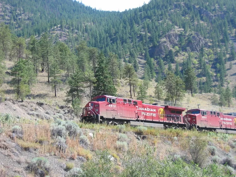
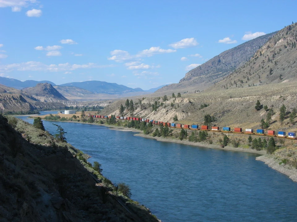
We only take freight trains because passenger traffic is limited to road or air, except for a few tourist trains. Instead of going to Lilleet, we decide to head back up the Thompson Valley to Cache Creek. There are fires in the area, which we can see with tall columns of smoke. It's vegetation typical of the American West: a V-shaped valley with barren mountains and rare pines growing in inaccessible areas. The next section is particularly beautiful, with the road following the riverbank, while on the opposite side runs the railway. a train that accompanies us We continue through constantly and intensely irrigated fields, while everything around remains barren. As we approach Clinton, the landscape becomes more lush, and we pass through 100 Mile House. We rejoin the Fraser River valley to reach... Quesnel, a village where we will spend the night at the Econolodge, and we'll have dinner with a New York steak. The friendly owner of the establishment, now elderly, tells us some anecdotes from the heroic times and invites us to visit Barkerville, which was not originally planned.