Day 10
Towards the east
The sign forest at Watson Lake and then heading east towards Fort Nelson, with beautiful scenery and wildlife.
Watson Lake
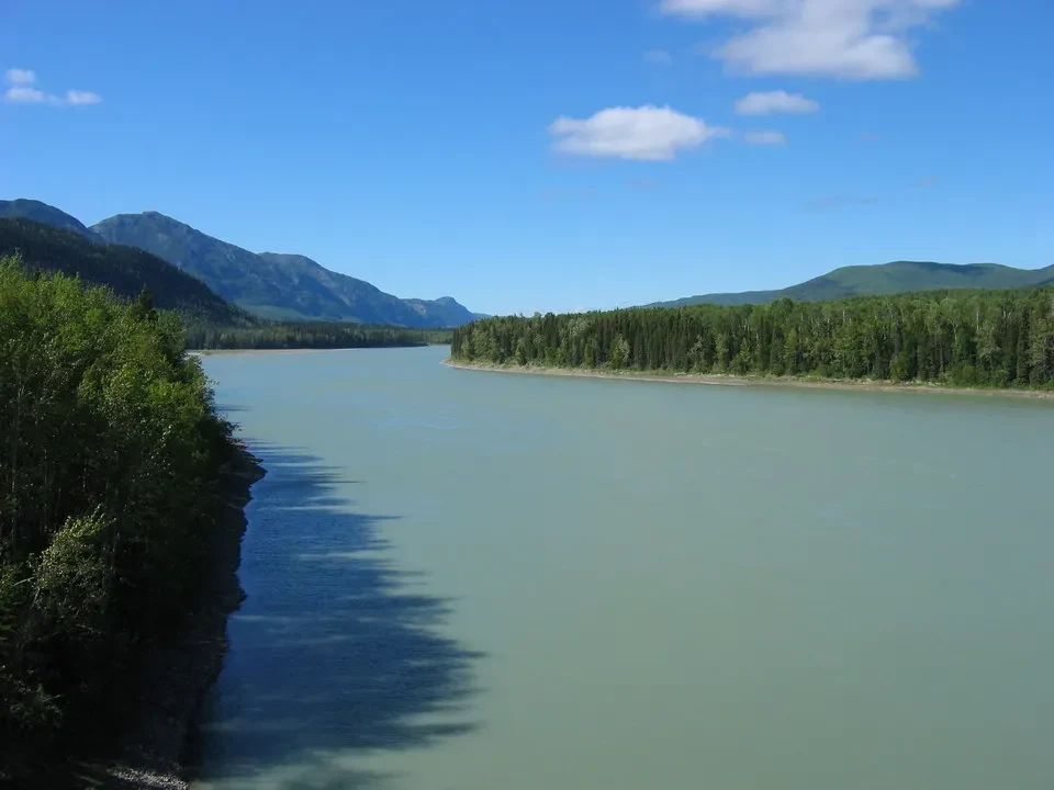
We depart at 8 am with a temperature of 8 degrees, which will reach a maximum of 14 degrees during the middle of the day. The weather is perfect and the fog that has been present since yesterday afternoon has disappeared. Our first stop is... Watson Lake, whose main attraction is the famous Sign Post Forest, where travelers from all over the world have posted over 53,400 signs (count constantly updated). It's also interesting to see the documentary that shows the reasons and difficulties behind the construction of the Alaska Highway in 1942. The next stop is at Whirlpool Canyon, where we can see... fast currents of the Liard River... so I went to the pier. Liard River Bridge (the only remaining part of the original highway construction, consisting of 114 bridges that were built) from which the image of the wide river flowing is truly postcard-worthy.
Watson Lake and Muncho Lake
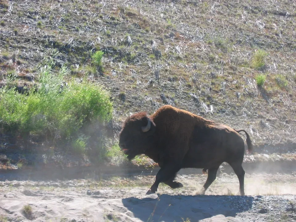
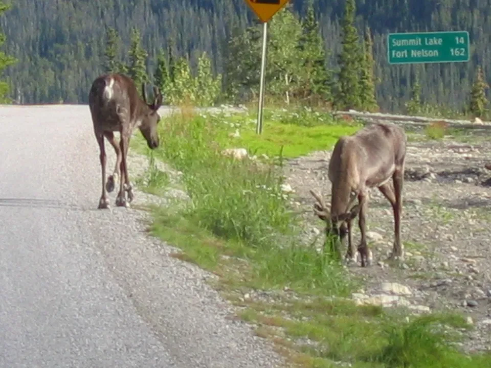
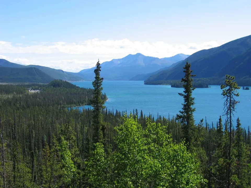
About fifty kilometers after Watson Lake, we came across a herd of bison that parked along the road. The landscape is always undulating, covered by a beautiful boreal forest and constantly dotted with lakes and rivers. Just after the bridge, it becomes steeper, and the highway also becomes narrower and more winding, as if on a mountain road. The day presents itself full of encounters with local wildlife: we find on our route... reindeer (wild reindeer) either alone or in small groups of three/four, with many young ones (they are shedding their antlers during this period). An elk It makes a beautiful impression on a sparkling lake after the Muncho Lake. The entire area is particularly scenic, especially the Muncho Lake with its turquoise waters. The road is occasionally invaded by wild goats intent on licking the salty asphalt. We take a path that leads us to see the Mineral Leak, where I usually stay. The animals rest here. licking the rock, which is rich in calcium, so it's useful for growing bones and especially horns. We follow the Toad River... which creates beautiful scenery. It is one of the most scenic locations, although not particularly highlighted in guidebooks. We reach an altitude of 1295 meters at Summit Pass, where the temperature has dropped to 6°C, and we continue into the Tetsa River valley after driving along a scenic road that follows the mountain ridge. Meanwhile, the sky is covered with light layer clouds. As we descend, there are ongoing works and one-way traffic; a pilot car guides the following vehicles along pre-determined routes. Shortly before Steamboat, we see an elk lying dead on the side of the road, having been killed in one of many accidents involving animals. We arrive at the B&B that we had previously booked, Avendale Wilderness in Fort Nelson, with beautiful rooms and wood everywhere. We have dinner with a dish consisting of crab and shrimp, at the restaurant of an Econolodge, which is the only one we see open. The village was formerly a fur trading post.