Day 4
San Sebastian and Pamplona
San Sebastián and Pamplona: cities full of pride. We start with the Spanish Pyrenees at the Roncevaux Pass.
San Sebastian between cathedral and bay
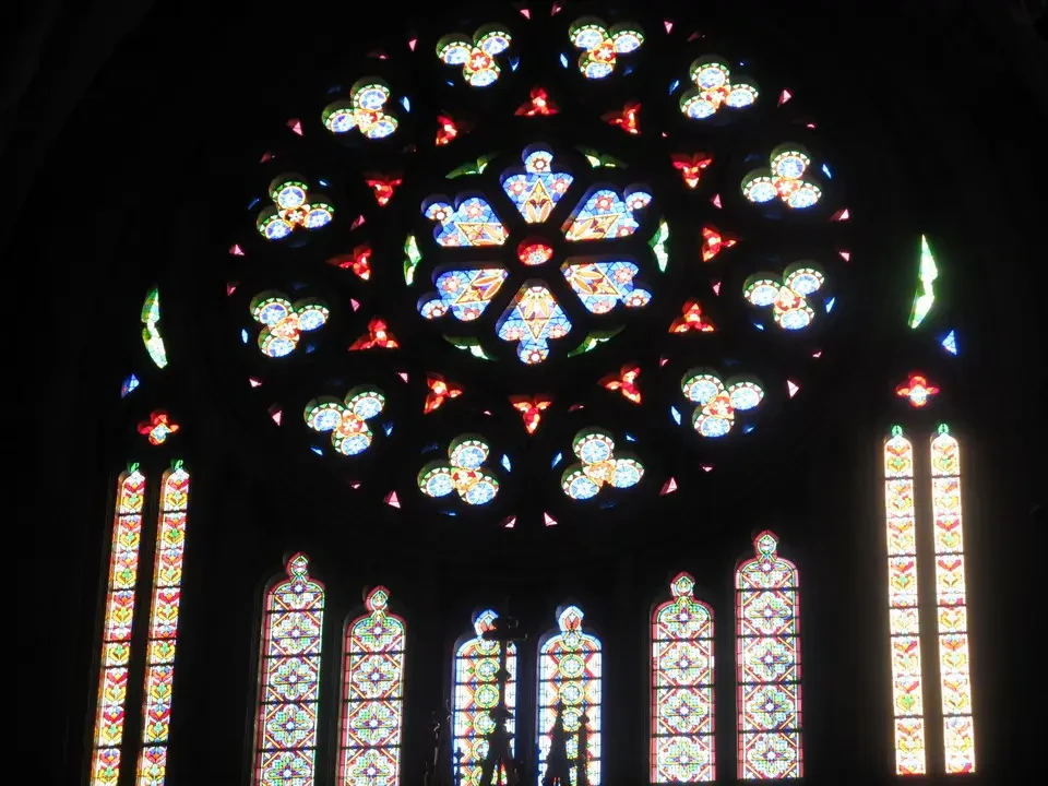
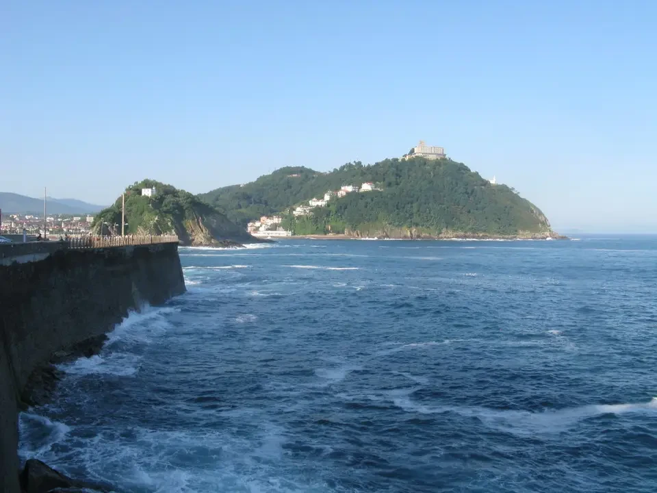
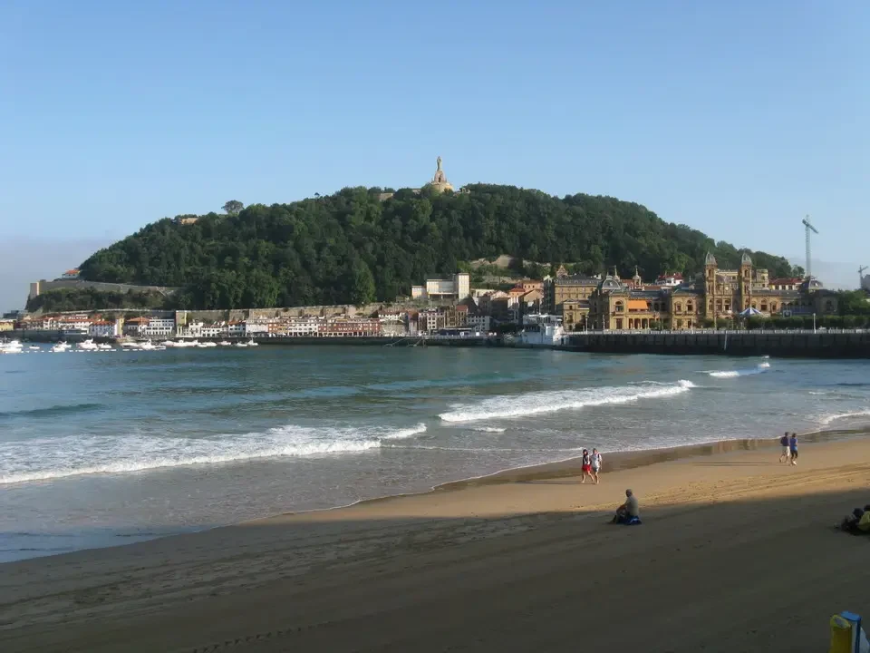
The only disturbance to our rest comes in the morning from the bells of the herds grazing nearby. Since the lady doesn't offer breakfast and we intend to leave early, at least according to Spanish habits, we go to have a bite to eat at a nice café in the center of San Sebastian, which is about twenty kilometers away. The sky is clear from the start. We visit the gothic cathedral and the church of Santa Maria del Coro, characterized by its lateral entrance. We take the lift up to Monte Urgull, from which you have a wonderful image of the lower city and the beach, after taking a walk along the Atlantic coast where its waves crash against the cliffs. The view was also beautiful. Plaza de la Constitución, with numbered balconies, since a bullfight used to take place in this square at one time.
Pamplona and the pilgrimage route
In the early afternoon, we arrived in Pamplona. Unlike what was expected, the city center and the old town are pleasant and characterized by narrow streets, almost like traditional alleyways. tall houses neatly aligned to keep the environment as cool as possible. Here you will find the encierro, the path that during the San Fermin festival leads the bulls to chase after the daring individuals who attempt to be chased and sometimes even knocked down by the animals' fury. The stretch is about 300 meters long and continues towards the Plaza de Toros. It is also beautiful to Castle Square, which used to be a bullfighting arena, the Town Hall building and the cathedral. There are many people and shops in the center.
Roncivalle, Irati and evening in the valley of Salazar
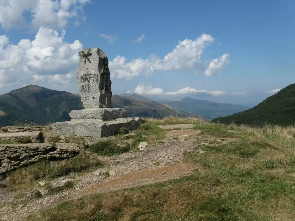
We go up to Roncivalle pass, 1050 meters; it is located just below the Ibanyeta hill, which faces France. These are mountainous areas but situated very low down, and the surrounding peaks are relatively not very high.
Let's take a tour of Irati Forest... with a vibrant blue lake, created by the closure of a dam, and surrounded by beautiful forests of beech trees and oaks. We walk along part of the road leading to the lake's perimeter, also climbing for a certain stretch in an attempt to get a higher vantage point.
We arrive to find accommodation for the night in the Salazar valley, in the village of Ochagavia, a beautiful and proud village located near other similar ones. We stay at Escaroz, two kilometers away, where we find a room at a rural house. We have dinner outdoors with grilled cod and beef fillet with chips, accompanied by a rice appetizer with tomatoes and eggs.
The valley of Salazar at dusk
In general, the houses are well-maintained and there are many flower pots, especially geraniums. On paved streets with very careful urban planning, the stream that flows through is crossed by Roman stone bridges, and the streets have something in common with our inland Ligurian towns.
Young people and many children can be seen, the result of an emigration that never happened. The summer brings everyone out for a joyful evening gathering. It seems they mainly live off farming and wood exploitation, as well as tourism during the seasons when it is available.