Day 5
Spanish Pyrenees
Ansó and Hecho: valleys where time stands still. Monastery of St. Juan de la Peña and Ordesa Park, with its stunning rocks.
Valleys of Navarre between Roncal, Anso and Hecho
Shortly after 7:30 am, we were ready to leave without breakfast, to avoid disturbing the host who had welcomed us. We drove for about an hour and stopped at a bar that was fortunately open.
A note of news: In these days in France, about ten arms caches hidden by ETA were found in the Pyrenees. To that end, in the Salazar Valley, in Navarra, we encountered several checkpoints manned by the Civil Guard; one of which could have been particularly dangerous for us. After drinking a bottle of Rioja at the Escaroz restaurant, we drove to Ochagavia for a relaxing walk. On our return, a patrol of the Civil Guard, who were setting up a checkpoint, fortunately didn't stop us. We had no weapons on board, but we did have alcohol.
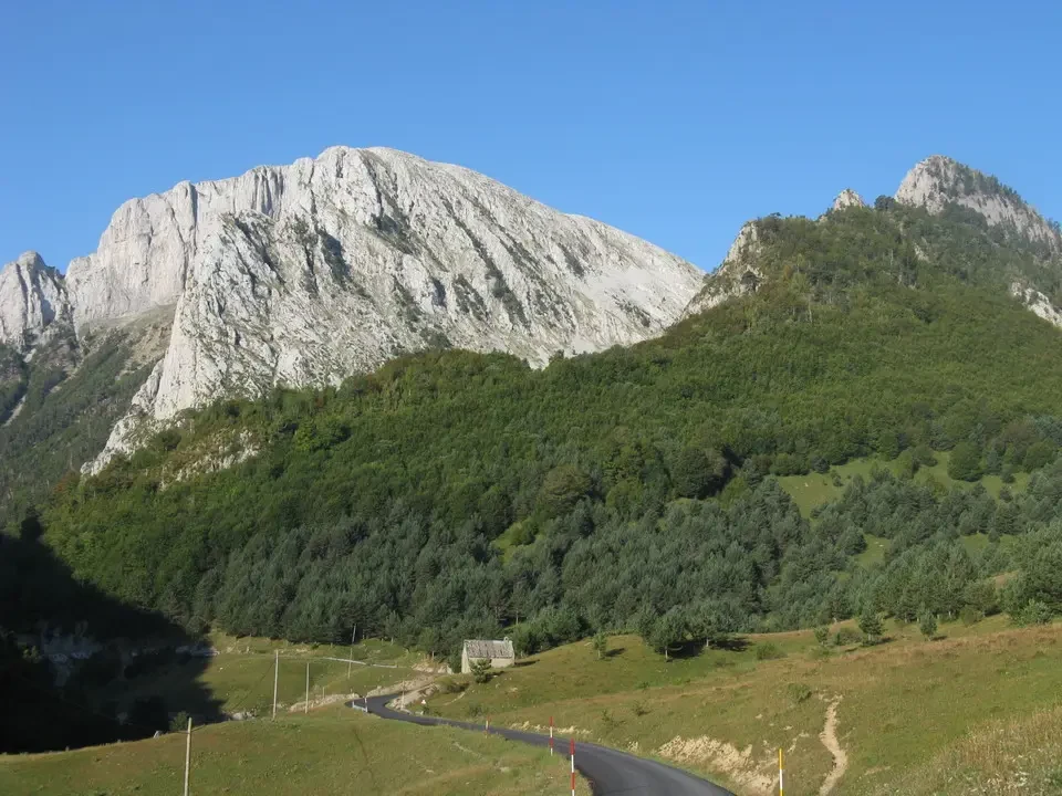
We descend into the Roncal valley, to Isaba, to transfer to that of Anso. Anso... and finally in the valley of Hecho. We stop here for a walk, admiring its order and the real competition among residents to make use of every available space, with pots everywhere. Paved streets made of stone and houses made of the same material, but at the same time green and flowered thanks to the vegetation grown in pots. This gives us a great impression of tranquility, which is confirmed when we enter the local grocery store. Time seems to have stopped: instead of usual convenience stores, there's an old-fashioned grocery store with local products, where two stand out barrels of vermouth We buy cheese locally and have a chat with the owner. He tells us how they essentially live off tourism and farming. The season starts during Holy Week and continues through weekends until July-August, when tourists stay for extended periods. In winter, it snows heavily, even at just 850 meters above sea level, and last season was particularly abundant. We get the impression that we are in a place of relaxation rather than a location for major mountaineering expeditions. The surrounding peaks are relatively low and suitable for walks to stimulate those who don't eat much. We continue up to Siresa to see the beautiful church, but we don't linger there, even though it would probably be worth it.
San Juan de la Pena and Jaca
We definitely head south to Puente de la Reina and then on to Santa Cruz de la Seros, which brings us to the monastery of San Juan de la Pena. that we visited. It is located in a rather unusual position under a rock, to avoid attacks from the Moors, who at that time, in the 9th century, essentially controlled Spain. Just above it there is a most recent monastery, however, dating back to the 16th century and restored in 2005 with funds from the European Community. In essence, it has been damaged by covered walkways that run along the outside of the aisles. Wooden kiosks and modern decorations that frame the museum do not fit the austerity of the place.
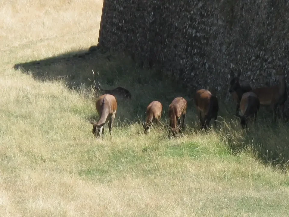
We have lunch at a table located near the monastery and return to the main valley to reach Jaca. Under a bright and warm sun, we take a walk around the Ciudadela pentagonal, apparently one of the only two remaining in Europe. Some deer They seek refuge in the shadows of the ditch where they are forced to live: a rather questionable attraction. We take a tour of the city by car and decide to leave immediately, given that the temperature has already reached around 30 degrees Celsius.
Torla, Broto and first meeting with Ordesa
We are going to Bescas and then on to Broto, which is the gateway to the famous... Torla, on the other hand, the door of the Ordesa National Park.

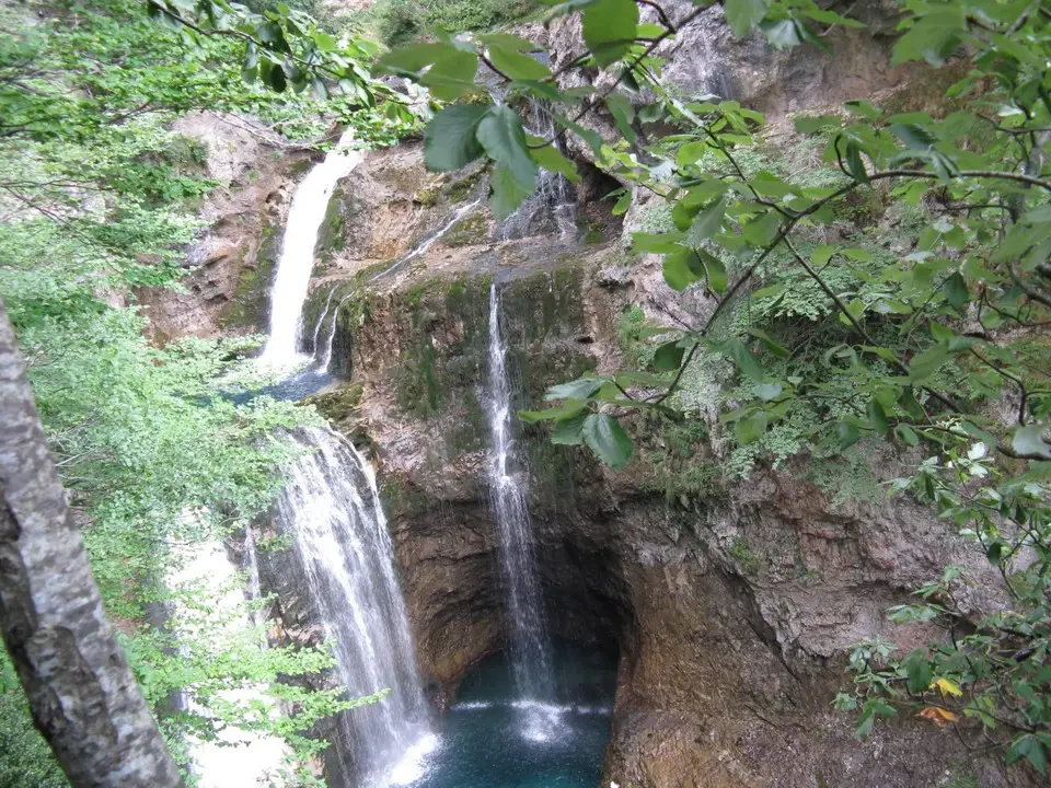
We arrived at 4:45 PM. We took the 5:00 PM bus to Pradera de Ordesa, which is a 7 km journey with a 15-minute ride. This grassy area, dotted with trees, marks the starting point for various hikes in the park. It's one of the five valleys within the Monte Perdido group, at an altitude of 3355 meters. Time is limited, although people in Spain tend to stay up late, and we quickly head towards the Cola de Caballo waterfall, knowing that it will take us about three hours to reach. Even though we almost halved the time, we reached a viewpoint, then returned. This allowed us to capture both our own and the photographic equipment's perspectives. some waterfalls and the long plateau with the background peaks We get off on the opposite side of the stream and, after almost an hour waiting, at 8 pm we take the bus to disembark. In Broto, we find excellent accommodation, quite unexpectedly, given the time. There was even a kitchen and access to the internet, but we were still hungry. Dinner outdoors at a restaurant on the main street of Broto, with salad, octopus in Galician style, and Valencian paella. We agree to share a table with a nice couple from Barcelona, with whom we spend the evening chatting. It's almost midnight when we say goodbye, and sleep takes over.